
News & Insights
Our geospatial experts offer compelling technical insights, research bulletins, and field case studies reframing river delta resilience, geodetic datums, and smart urban digital twins across Bangladesh.
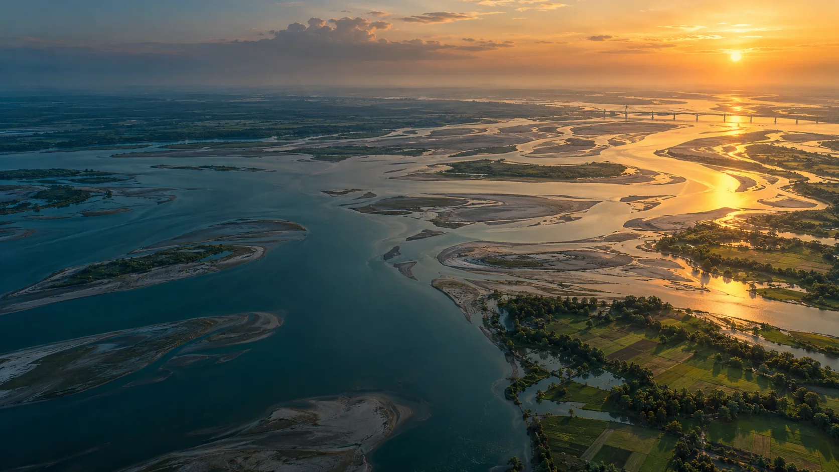
River Delta Resilience: Advanced Bathymetric Sounding and Riverbed Morphology Modeling
How dual-frequency sonar and acoustic Doppler current profilers (ADCP) provide civil engineers with the cross-section hydrography required to stabilize river training structures along the Jamuna basin.
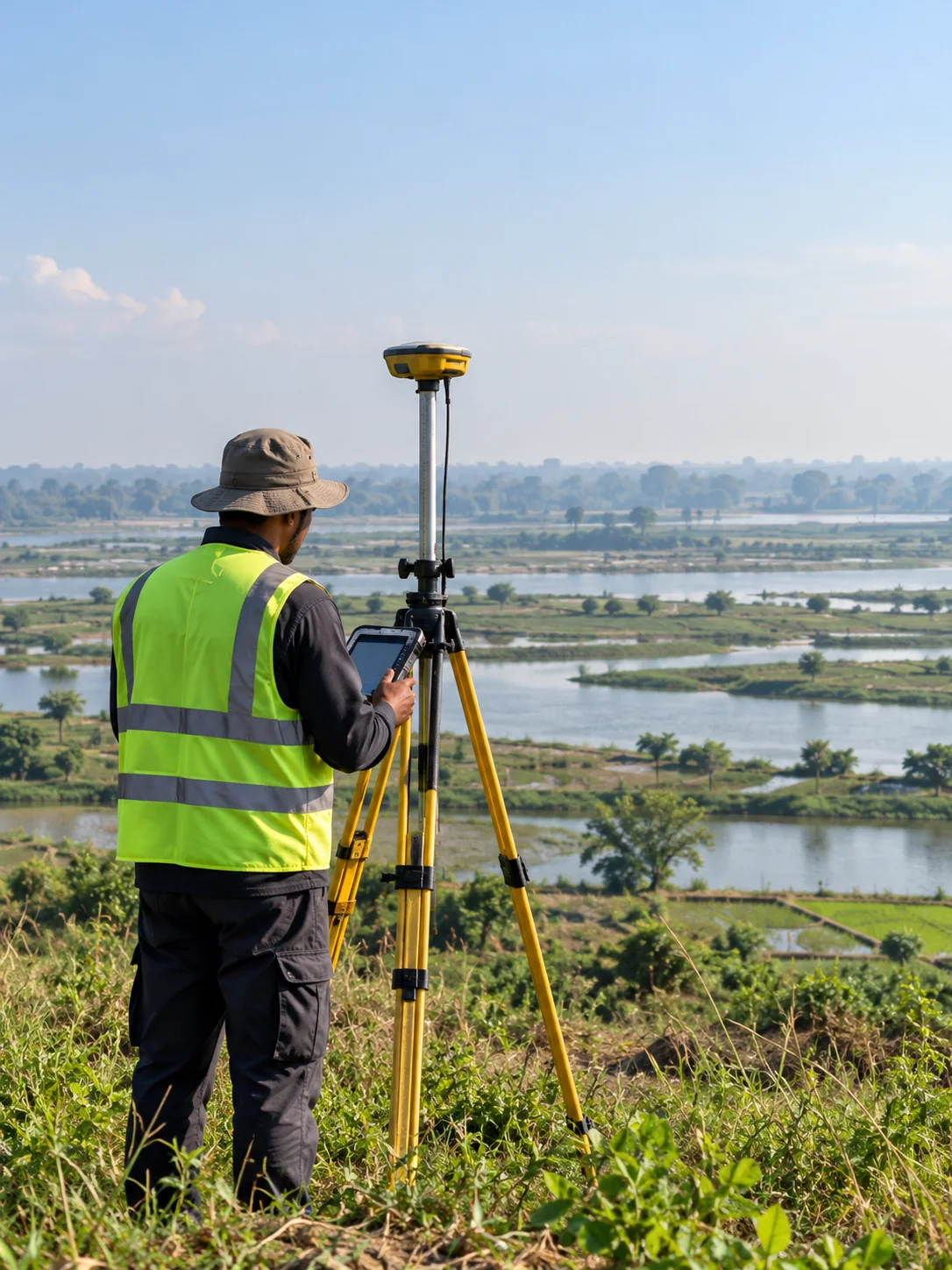
Sub-Centimeter Geodesy: Establishing Reliable Vertical Control for National Transport Corridors
A deep dive into high-precision RTK GNSS base-rover networks, geoid undulation corrections, and benchmark tying across tidal delta floodplains.
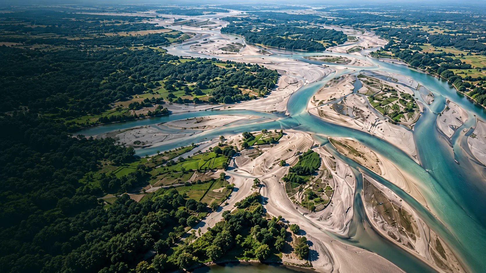
Transforming Municipal Water Distribution into Enterprise GIS Digital Twins
Geospatial Works successfully completes subsurface pipeline detection and valve geodatabase integration covering 450 km of municipal pipelines in Dhaka.
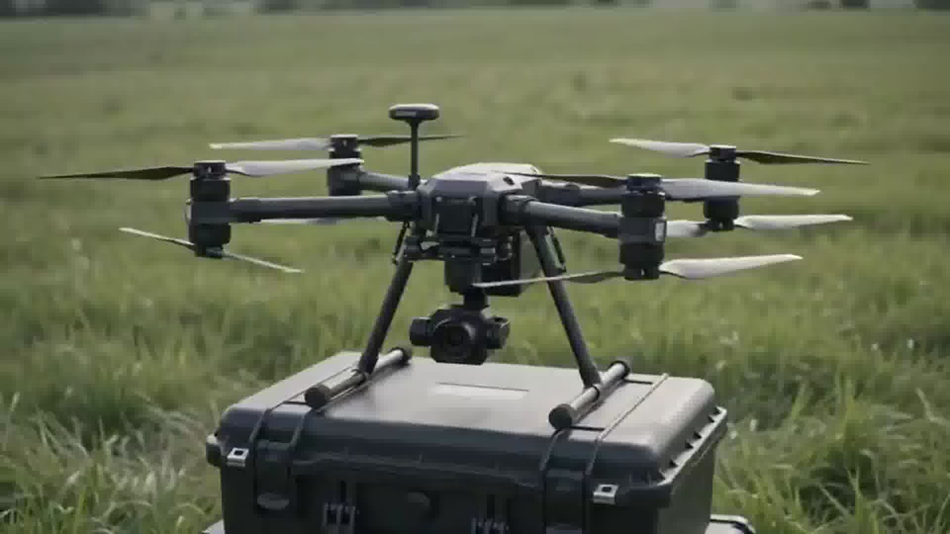
High-Density Airborne UAV LiDAR: Piercing Dense Vegetative Canopy for Flood Modeling
Extracting bare-earth digital elevation models (DEM) through dense mangrove and delta vegetation to assist disaster management boards.
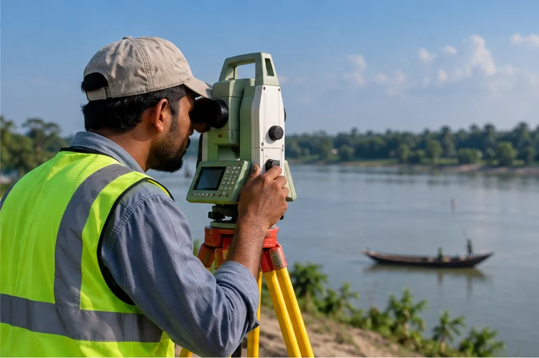
Ground Penetrating Radar in Dense Urban Corridors: Mitigating Utility Strikes
Best practices for multi-frequency electromagnetic locating and GPR radargrams prior to deep piling for elevated viaducts.
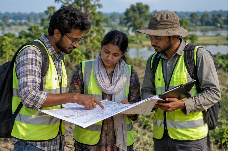
Geospatial Works Expands Regional Field Survey Bases Across 8 Administrative Divisions
Mobilizing certified total station and RTK field survey crews to support expedited infrastructure feasibility studies across Bangladesh.