
Topographic & Engineering Survey
Sub-centimeter geodetic baselines, contour mapping, and digital terrain modeling for civil engineering and infrastructure.

Uncompromising Standards for Critical Infrastructure
We execute comprehensive land surveys combining dual-frequency GNSS RTK and high-accuracy robotic total stations. Every contour and ground feature is referenced to national Survey of Bangladesh (SOB) benchmarks.
What You Receive
- Topographic Surface Contours (0.25m / 0.5m intervals)
- Ground Control Point (GCP) Geodetic Network Dossier
- Civil 3D Digital Terrain Models (.TIN / .DWG)
- Cross-Sections and Longitudinal Profiles
Survey-Grade Instrumentation
Trimble / Leica Dual-Frequency GNSS RTK Receivers
1-Second Robotic Total Stations
Digital Invar Barcode Leveling Instruments
Why Engineering Leaders Choose Geospatial Works
Zero vertical alignment errors during highway and bridge piling
Eliminate costly earthwork volume recalculations
Certified drawings accepted by all government authorities
Complementary Capabilities
View all capabilities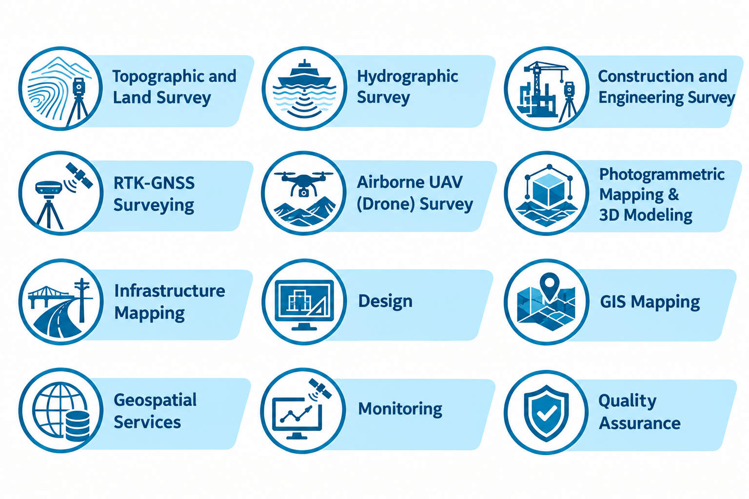
UAV Mapping & Aerial Photogrammetry
High-resolution orthomosaics, 3D point clouds, and multispectral aerial analytics across expansive corridors.
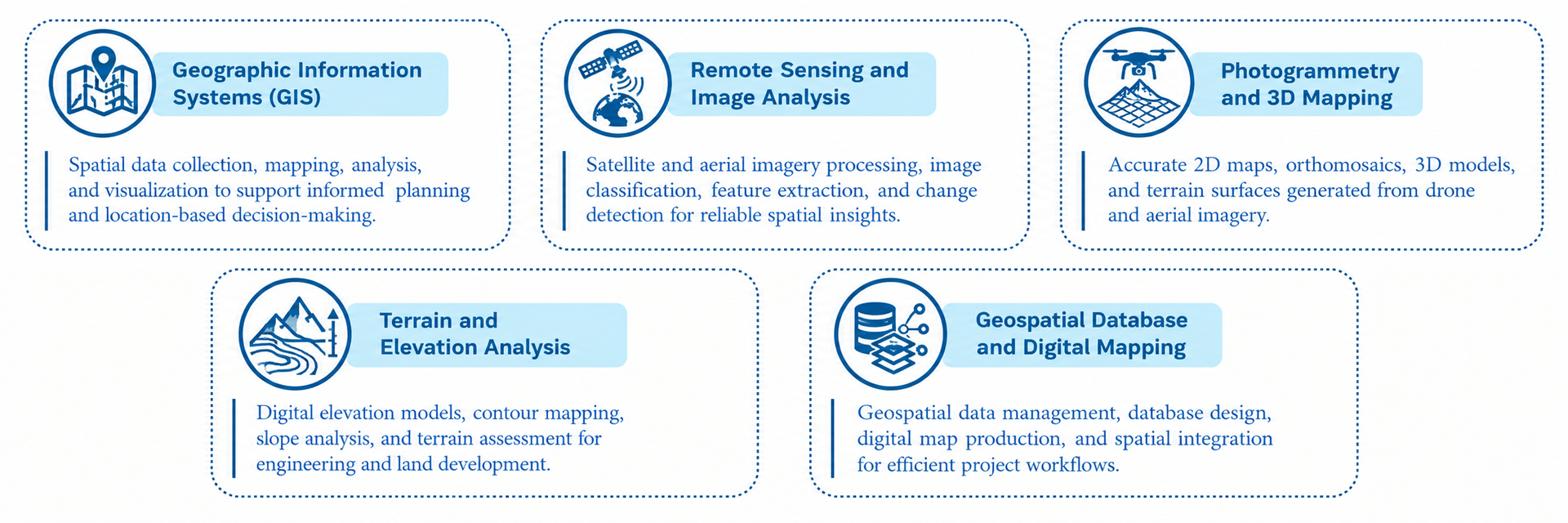
Enterprise GIS & Spatial Digital Twins
Transforming complex spatial infrastructure and field telemetry into real-time decision intelligence platforms.