
Hydrographic & Bathymetric Sounding
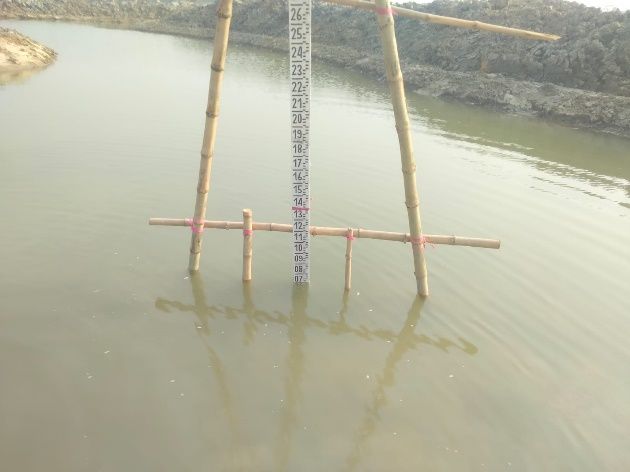
High-precision riverbed topography, velocity profiling, and scour detection in tidal delta waterways.
Uncompromising Standards for Critical Infrastructure
We deploy survey vessels equipped with dual-frequency echo sounders, Acoustic Doppler Current Profilers (ADCP), and RTK heave-pitch-roll sensors to map underwater terrain and sediment dynamics.
What You Receive
- Riverbed Bathymetry Contours and 3D Underwater Meshes
- Pre- and Post-Dredging Volumetric Calculation Reports
- 3D Flow Velocity Vector Maps across Channel Cross-Sections
- Submerged Hazard and Obstruction Location Charts
Survey-Grade Instrumentation
Dual-Frequency Survey-Grade Digital Echo Sounders
Teledyne / SonTek Acoustic Doppler Current Profilers (ADCP)
Real-Time Heave, Pitch, and Roll Motion Sensors
Why Engineering Leaders Choose Geospatial Works
Target dredging precisely where sediment shoals obstruct navigation
Detect underwater embankment scour holes before surface collapse
Accurate cubic meter volume certifications for contractor billing
Complementary Capabilities
View all capabilities
Topographic & Engineering Survey
Sub-centimeter geodetic baselines, contour mapping, and digital terrain modeling for civil engineering and infrastructure.
UAV Mapping & Aerial Photogrammetry
High-resolution orthomosaics, 3D point clouds, and multispectral aerial analytics across expansive corridors.