
UAV Mapping & Aerial Photogrammetry
High-resolution orthomosaics, 3D point clouds, and multispectral aerial analytics across expansive corridors.
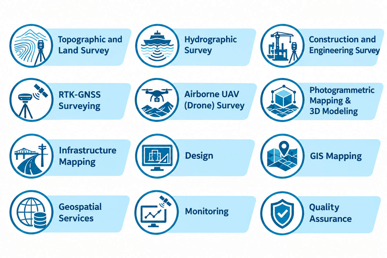
Uncompromising Standards for Critical Infrastructure
Our certified drone pilots fly multi-rotor and fixed-wing UAVs equipped with RTK/PPK GNSS and calibrated high-resolution RGB/multispectral sensors to capture vast sites with centimeter-level accuracy.
What You Receive
- Sub-5cm Ground Sampling Distance (GSD) Orthomosaics
- Classified 3D Point Clouds (.LAS / .LAZ)
- Digital Surface Models (DSM) and Bare-Earth DEMs
- Progressive Volumetric Cut/Fill Stockpile Computations
Survey-Grade Instrumentation
DJI Enterprise Matrice 350 RTK / Phantom 4 RTK
Zenmuse P1 45MP Full-Frame Photogrammetry Camera
Zenmuse L2 Triple-Return Airborne LiDAR
Why Engineering Leaders Choose Geospatial Works
Survey hundreds of hectares in hours instead of weeks
Safely map hazardous or inaccessible marshes and riverbanks
Provides stunning high-definition visual assets for stakeholders
Complementary Capabilities
View all capabilities
Topographic & Engineering Survey
Sub-centimeter geodetic baselines, contour mapping, and digital terrain modeling for civil engineering and infrastructure.
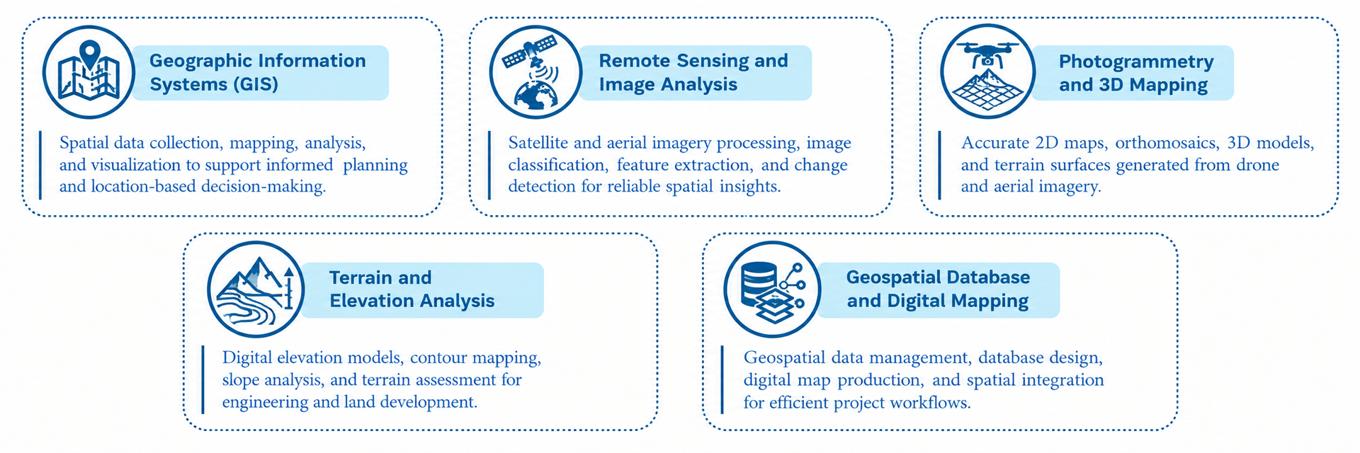
Enterprise GIS & Spatial Digital Twins
Transforming complex spatial infrastructure and field telemetry into real-time decision intelligence platforms.