
WHERE ENGINEERING MEETS PRECISION
Integrated engineering, geospatial, and precision surveying consultancy delivering technical solutions for national infrastructure, spatial planning, and delta resource management.
Geospatial Works is an engineering, geospatial, and precision surveying consultancy delivering integrated technical solutions for infrastructure development, spatial planning, and sustainable resource management across Bangladesh.
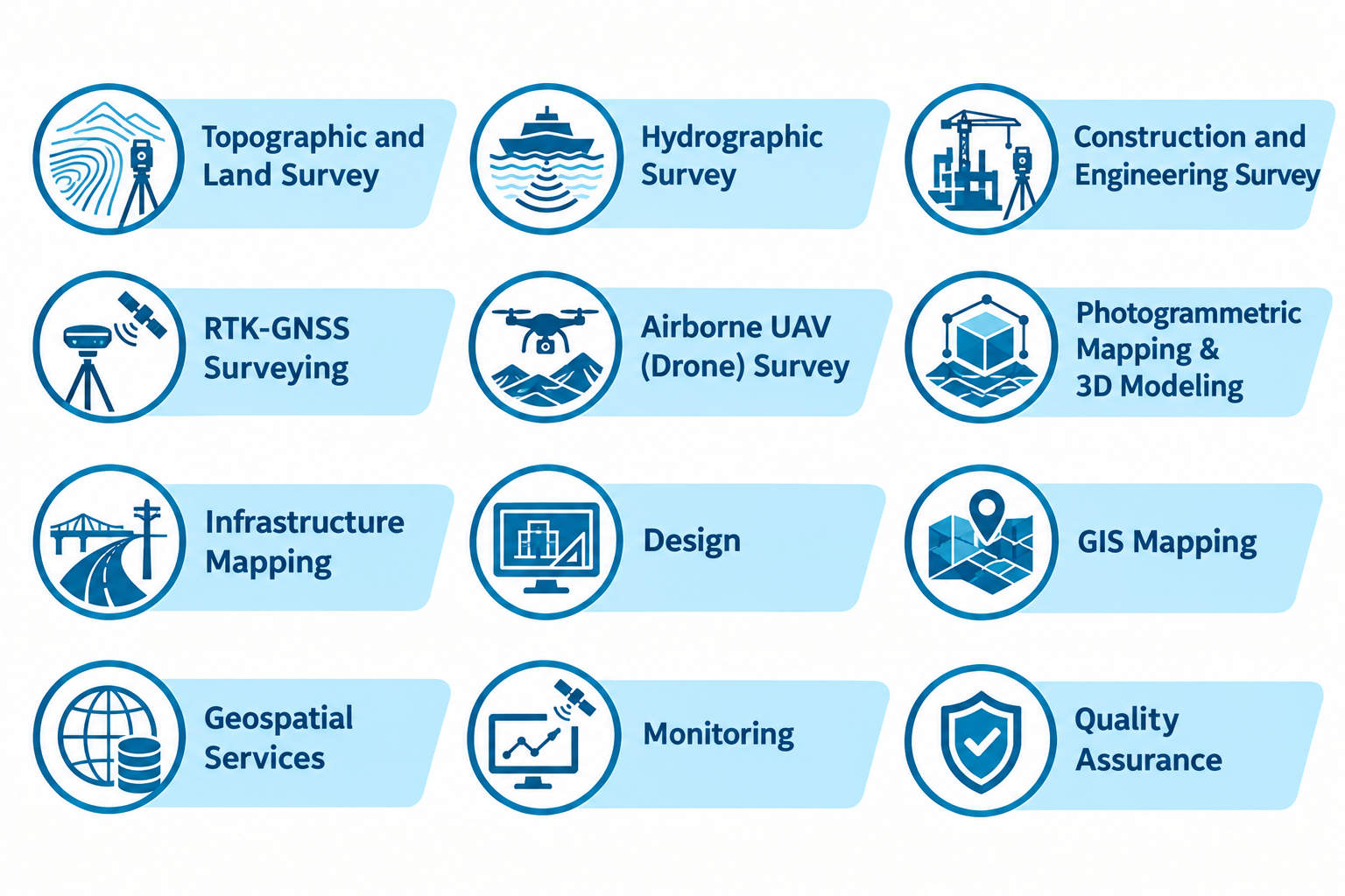
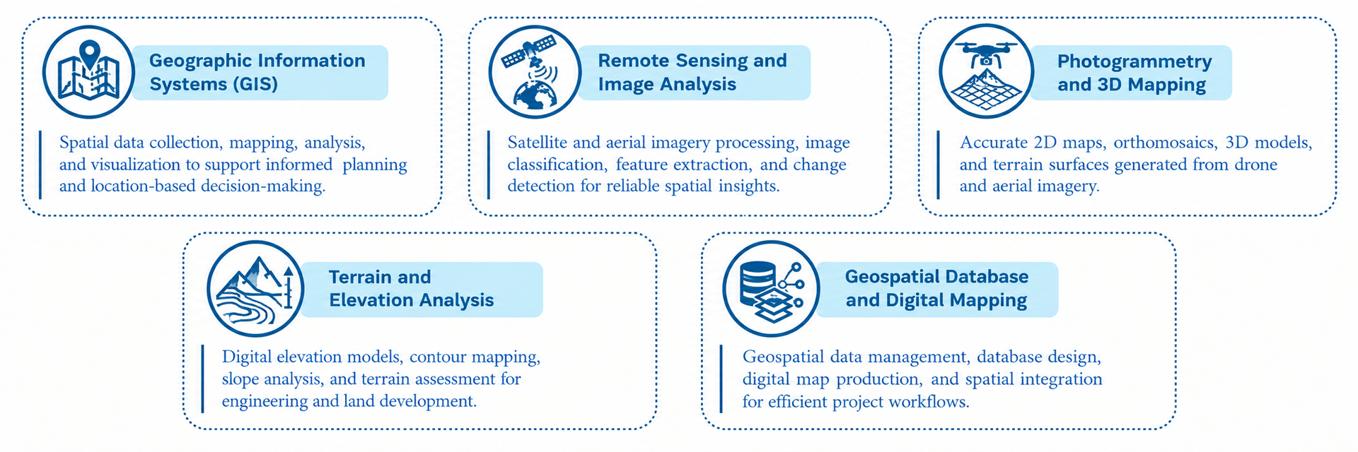
Combining engineering expertise with advanced geospatial technologies, modern surveying instruments, and digital design capabilities, we support projects from field data acquisition and spatial analysis to engineering design and 3D visualization.
Trusted by Bangladesh’s Infrastructure Authorities






Shaping the future

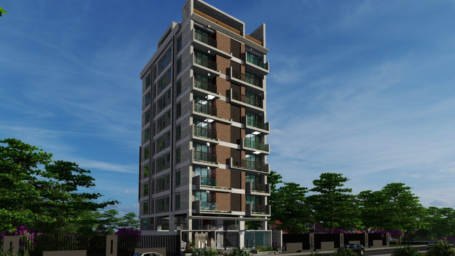
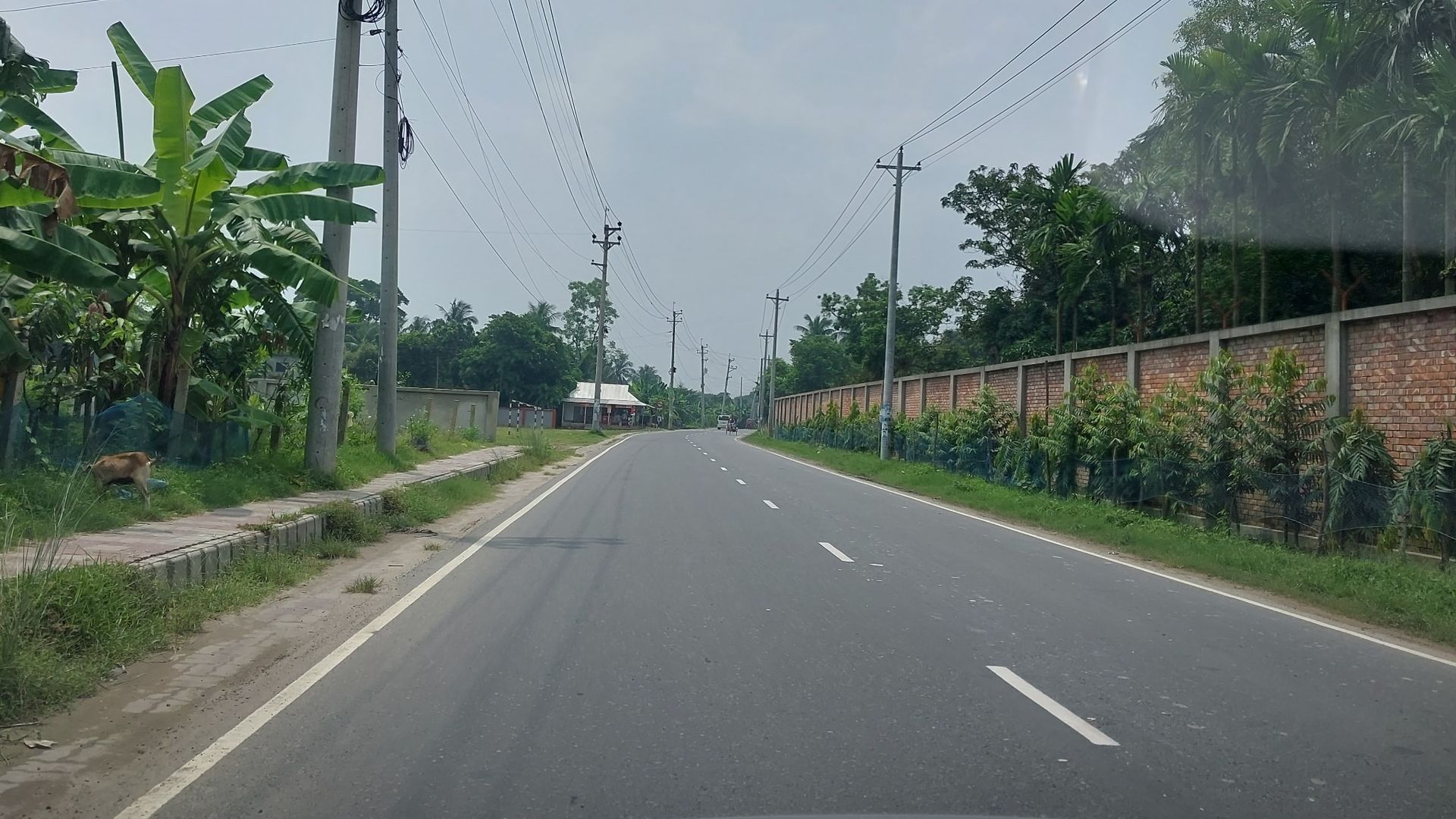
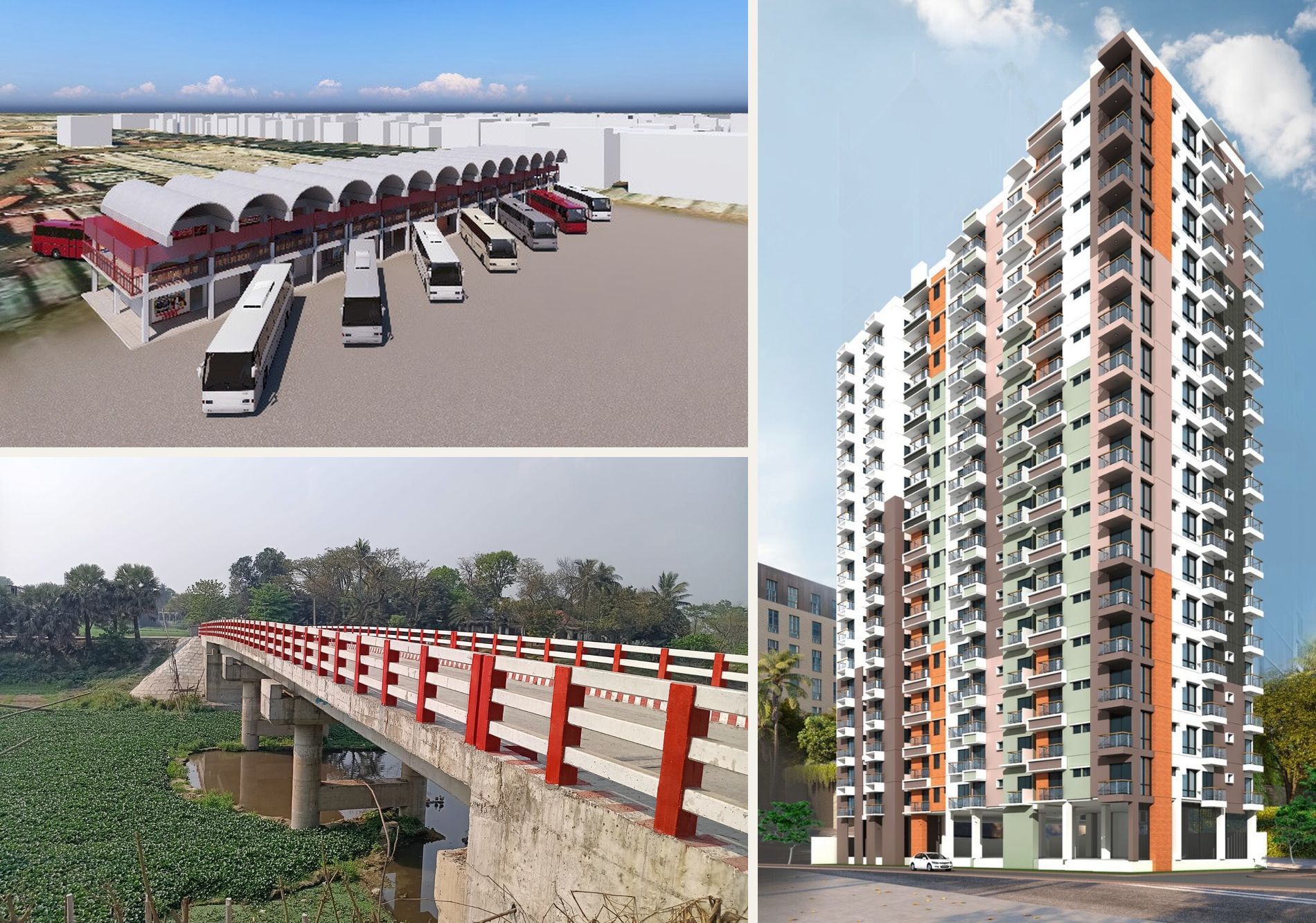
We combine future-focused thinking and technical know-how to power local impact. Our teams develop deep understanding and a partnership of trust with our clients across over 100 sectors and services.
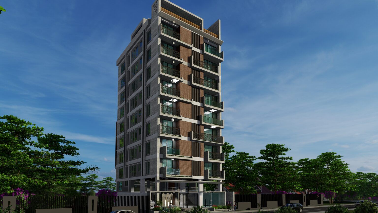
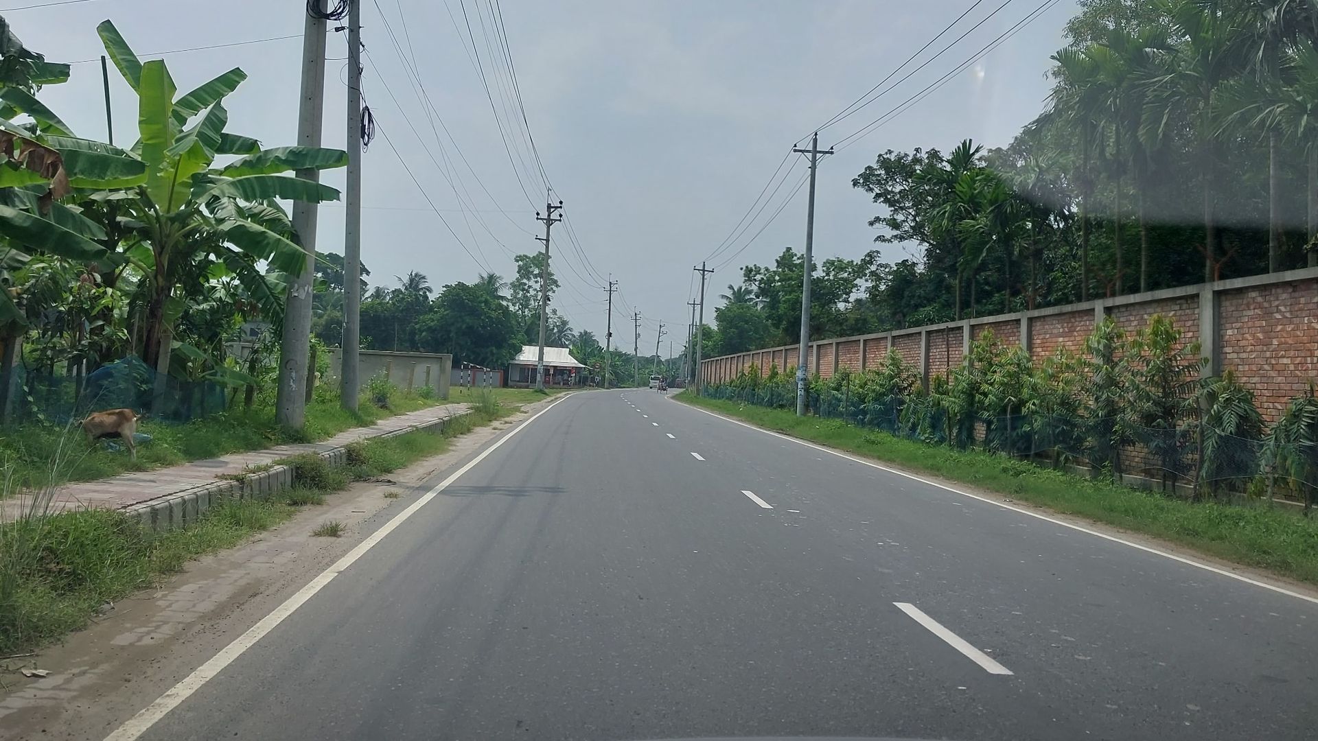
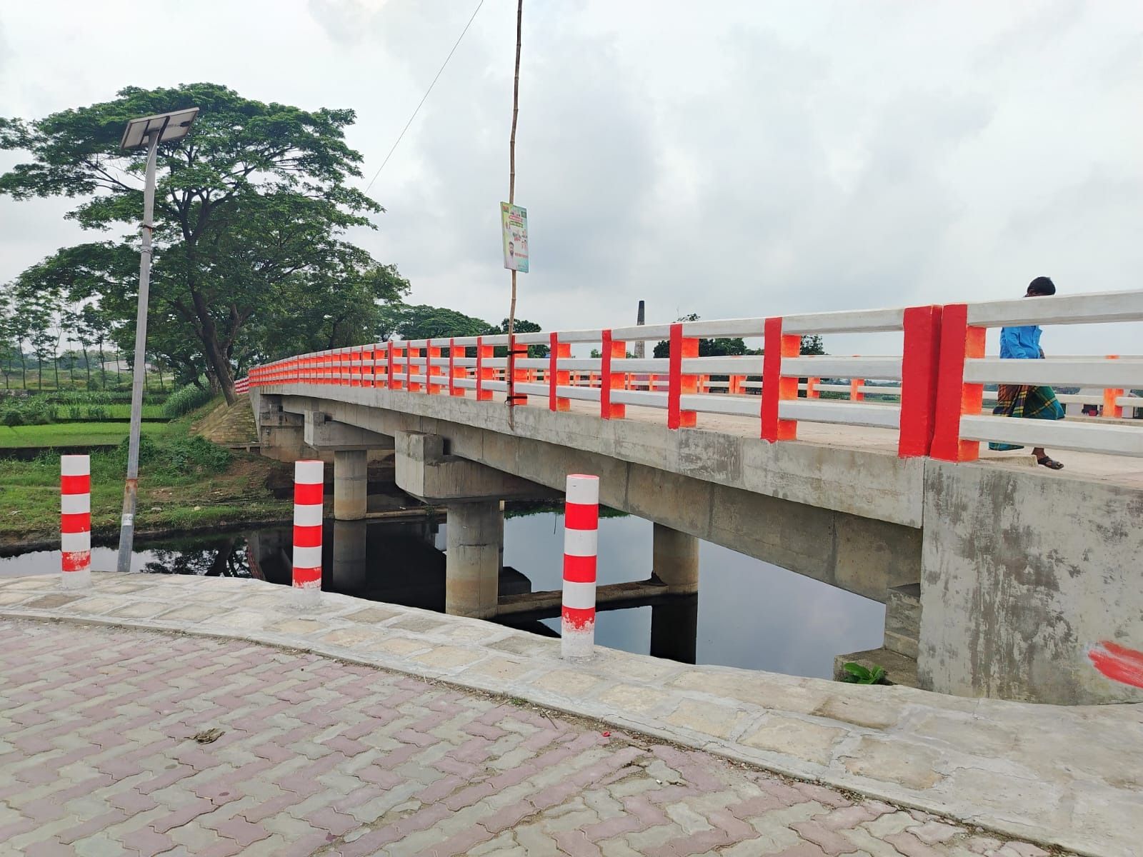
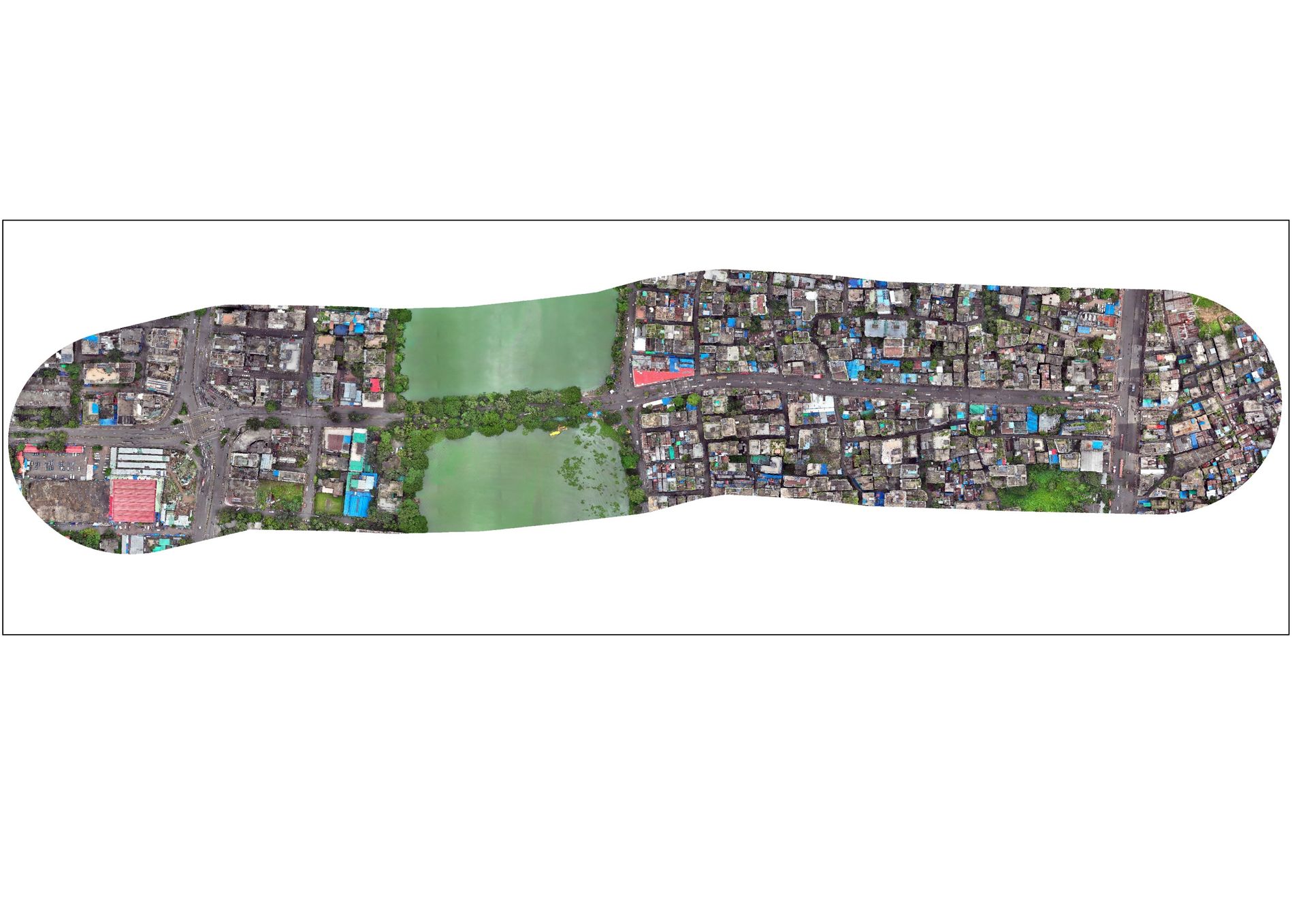


Pioneering
projects
Across Bangladesh, we work with clients to dream big, challenge conventions and transform our world for the better.
Instruments & facilities
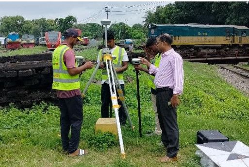
Geospatial Works maintains an extensive inventory of geodetic GNSS receivers, enterprise UAV systems, optical instruments, and dedicated high-performance workstations.
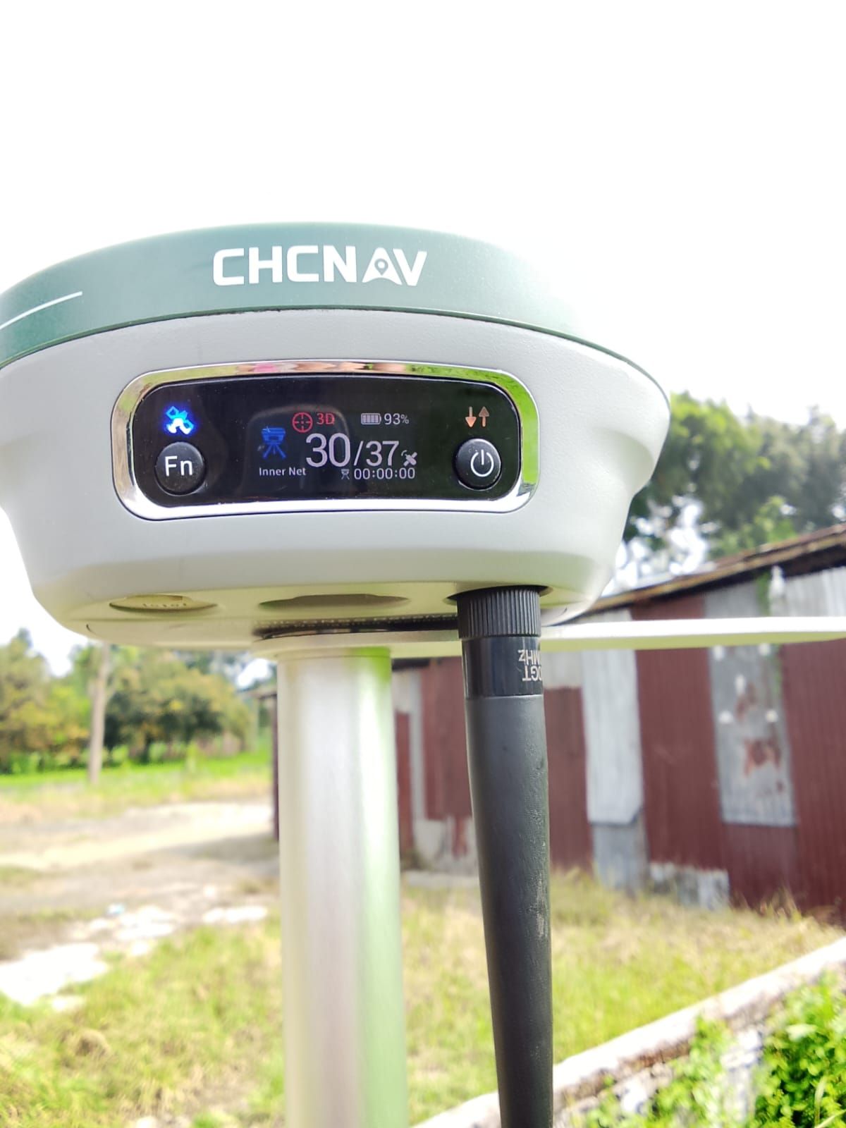
CHCNAV i83 RTK GNSS
Eight CHCNAV i83 units tracking 1,408 channels with static GNSS and GSM-based RTK operation up to 30 km range for millimeter-level geodetic control and boundary demarcation.
DJI Enterprise Fleet
DJI Mavic 3 Enterprise, Mavic 3 Multispectral, and Matrice 4 Enterprise with 7 dedicated batteries per model for uninterrupted aerial photogrammetry and multispectral sensing.
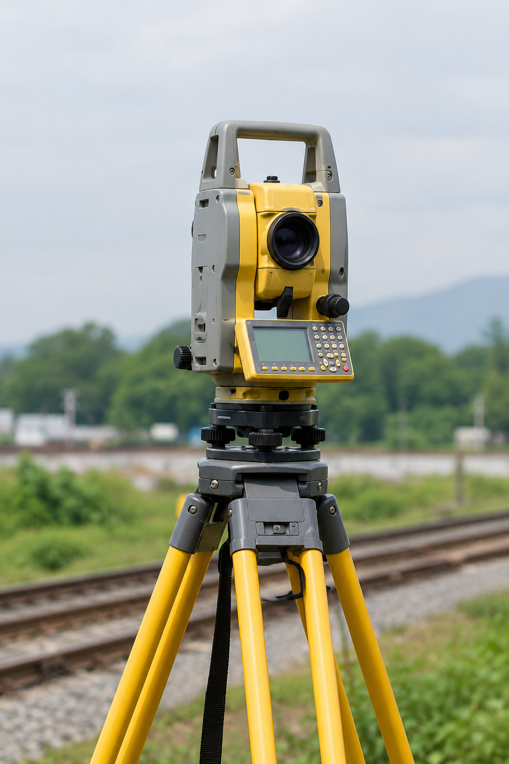
Total Stations & Sounders
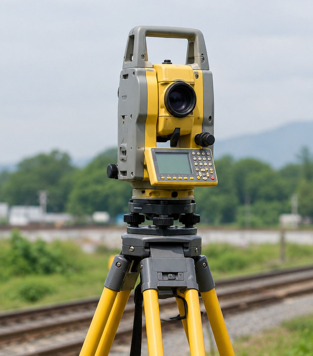
Multi-brand total stations (Topcon, Sokkia, CHCNAV, Kolida), Sokkia B 20A and Topcon AT B 3 automatic levels, and CHCNAV D270 digital echo sounder for bathymetric depth surveys.
High-Throughput Spatial Compute & Modeling Stack

Innovative thinking
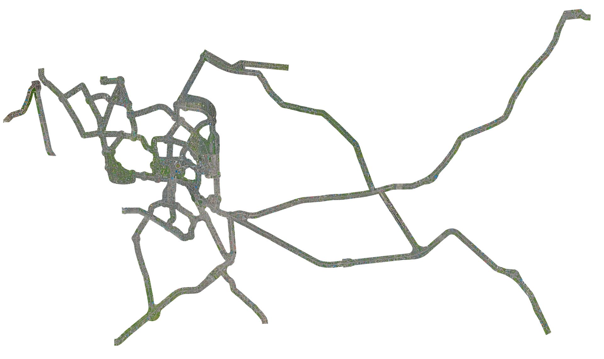
Rapid Deployment of DJI Matrice 4E UAV Photogrammetry for DTCA Bus Route Rationalization
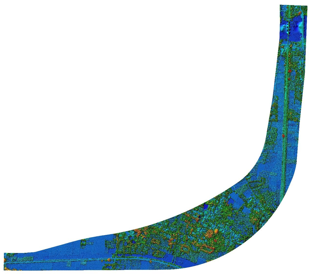
Generating 0.20cm Digital Terrain Models & High-Resolution Orthomosaics for Railway Bypasses
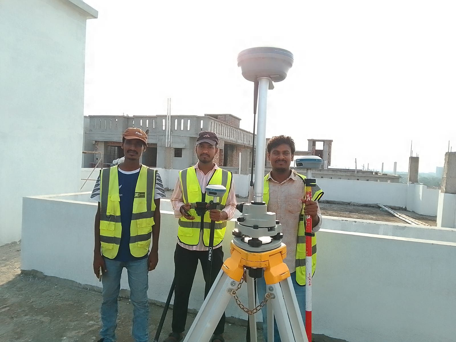
Coastal Mangrove Accretion Assessment Using RTK-Enabled UAVs for Bangladesh Forest Department
Latest news
Completion of 35.15 sq km UAV drone and traffic OD survey across 150 km of Dhaka city for DTCA in 30 days.
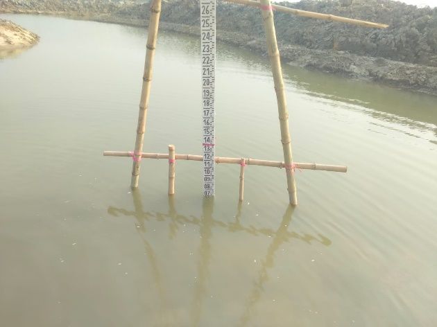
Deployment of river water-level gauge readers and RTK Reduced Level adjustments across Jhopjhopia River for BADC WEB-AIS.
Finalization of architectural and drainage masterplan drawings for Gabtoli and Mohakhali Inter-District Bus Terminals.
Lead and grow
What if you could build a career that’s as unique as you? With us you can.
Keep in touch
From corridor surveying to UAV photogrammetry and spatial databases, reach our engineering team for technical consultation and deployment.
Geospatial Works Ltd.
64/1 (D1), Lake Circus, Kalabagan, Dhaka 1205