
Ground Penetrating Radar in Dense Urban Corridors: Mitigating Utility Strikes
Best practices for multi-frequency electromagnetic locating and GPR radargrams prior to deep piling for elevated viaducts.
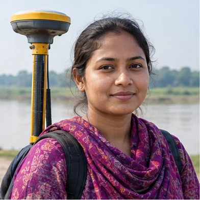
Engr. Mahbubur Rahman
Head of Hydrographic & Bathymetric Engineering
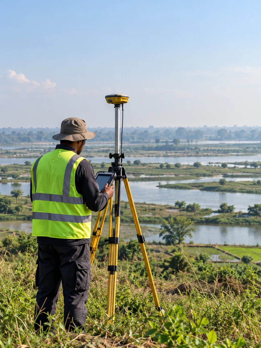
Eliminating the Risk of Utility Strikes
Deep bored piling in city centers presents severe risks to buried gas lines, fiber optic backbones, and high-voltage transmission cables. A single utility strike can trigger massive blackouts, gas leaks, and multi-week project delays.
Geospatial Works provides comprehensive Subsurface Utility Engineering (SUE) Quality Level B and A services, utilizing shielded ground penetrating radar arrays and electromagnetic induction to produce 3D underground collision maps.
Related Insights
View all news & insights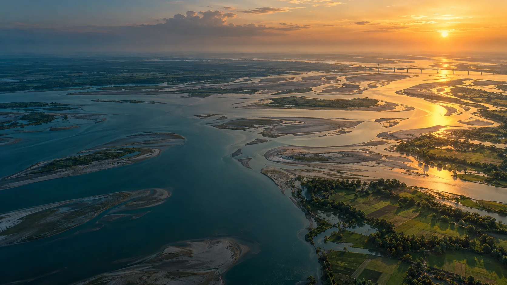
River Delta Resilience: Advanced Bathymetric Sounding and Riverbed Morphology Modeling
How dual-frequency sonar and acoustic Doppler current profilers (ADCP) provide civil engineers with the cross-section hydrography required to stabilize river training structures along the Jamuna basin.
Sub-Centimeter Geodesy: Establishing Reliable Vertical Control for National Transport Corridors
A deep dive into high-precision RTK GNSS base-rover networks, geoid undulation corrections, and benchmark tying across tidal delta floodplains.
Transforming Municipal Water Distribution into Enterprise GIS Digital Twins
Geospatial Works successfully completes subsurface pipeline detection and valve geodatabase integration covering 450 km of municipal pipelines in Dhaka.