
Transforming Municipal Water Distribution into Enterprise GIS Digital Twins
Geospatial Works successfully completes subsurface pipeline detection and valve geodatabase integration covering 450 km of municipal pipelines in Dhaka.

Farhana Akter
Director of GIS & Spatial Enterprise Architecture
Modernizing Dhaka’s Underground Water Arteries
Managing water distribution for a metropolis of over 20 million residents requires precise real-time knowledge of buried pipeline networks. Over decades of urban expansion, unmapped pipe segments, buried valve chambers, and undocumented spurs created significant non-revenue water (NRW) loss.
Geospatial Works was commissioned to create a comprehensive digital twin of Dhaka WASA’s municipal supply infrastructure, combining non-destructive subsurface utility engineering with spatial database architecture.
“Transforming legacy paper records and hidden underground valves into an interactive 3D GIS platform empowers municipal authorities to prevent leaks and respond to pipe bursts in minutes.”
— Farhana Akter, Geospatial Works
Subsurface Electromagnetic Locating and GIS Modeling
Our engineering teams deployed high-frequency electromagnetic pipe locators and dual-frequency ground penetrating radar (GPR) across arterial roadways, mapping pipeline material, depth of cover, and joint configurations without tearing up road surfaces.
Every above-ground valve, flow meter, and fire hydrant was surveyed with sub-centimeter RTK receivers and cataloged with custom mobile GIS collection tablets.
Empowering Operation & Maintenance
The finalized dataset comprises over 450 kilometers of digitized, topological pipeline networks formatted as an enterprise PostgreSQL/PostGIS spatial database seamlessly integrated with hydraulic modeling software.
Related Insights
View all news & insights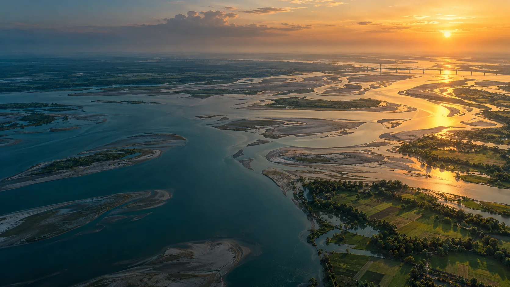
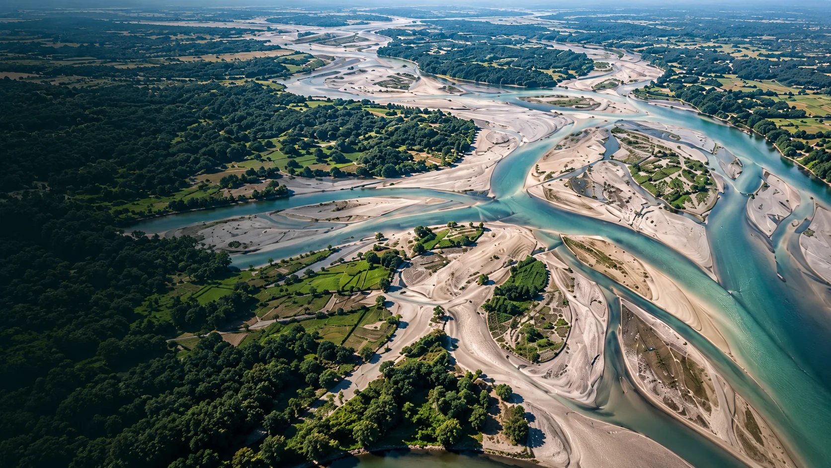
River Delta Resilience: Advanced Bathymetric Sounding and Riverbed Morphology Modeling
How dual-frequency sonar and acoustic Doppler current profilers (ADCP) provide civil engineers with the cross-section hydrography required to stabilize river training structures along the Jamuna basin.
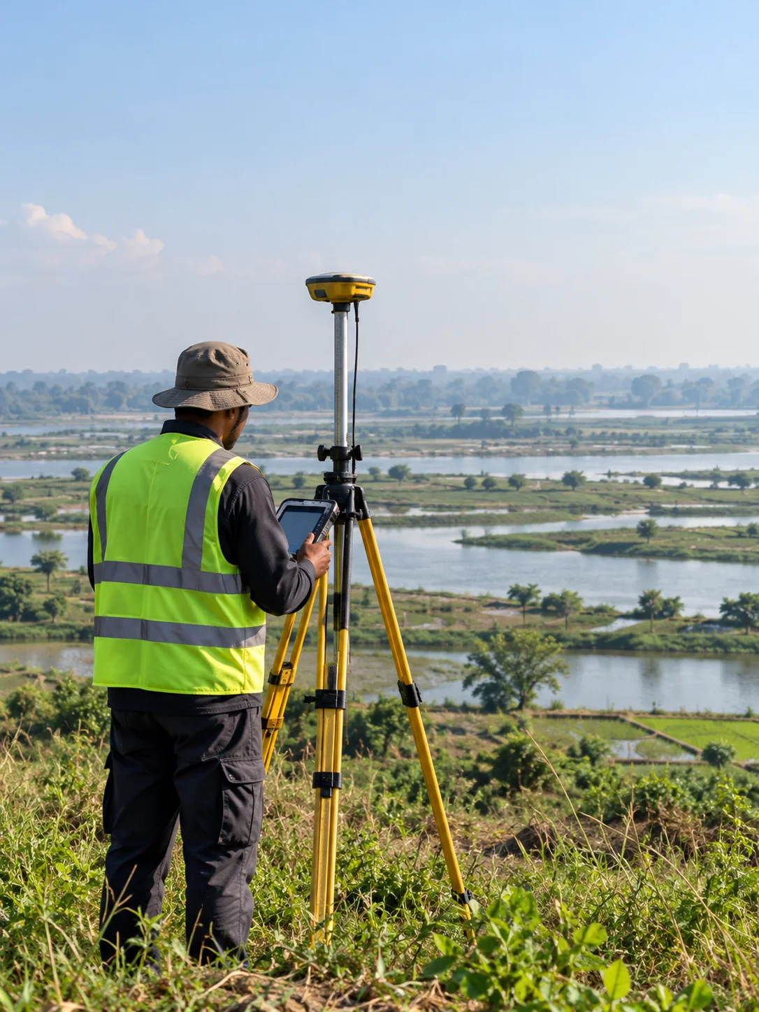
Sub-Centimeter Geodesy: Establishing Reliable Vertical Control for National Transport Corridors
A deep dive into high-precision RTK GNSS base-rover networks, geoid undulation corrections, and benchmark tying across tidal delta floodplains.
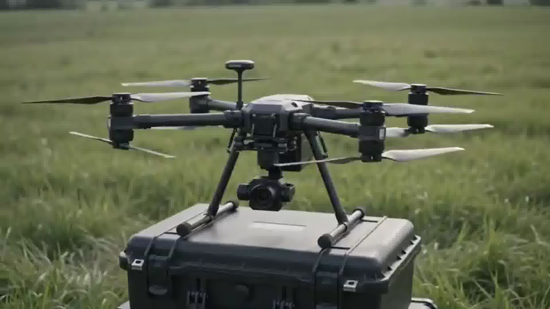
High-Density Airborne UAV LiDAR: Piercing Dense Vegetative Canopy for Flood Modeling
Extracting bare-earth digital elevation models (DEM) through dense mangrove and delta vegetation to assist disaster management boards.