
High-Density Airborne UAV LiDAR: Piercing Dense Vegetative Canopy for Flood Modeling
Extracting bare-earth digital elevation models (DEM) through dense mangrove and delta vegetation to assist disaster management boards.

Tanvir Hossain
Lead Geodetic Surveyor & GNSS Specialist
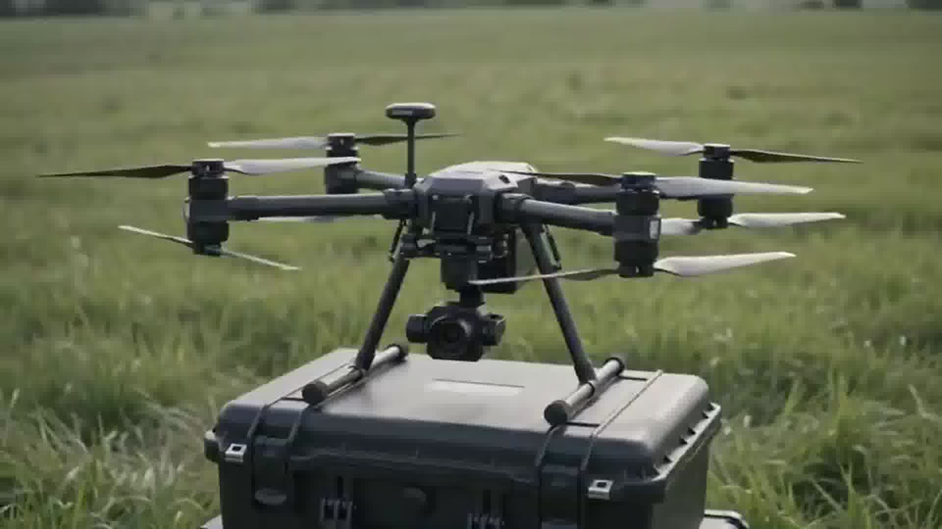
Overcoming Canopy Blind Spots
Traditional aerial photogrammetry relies on optical sightlines, meaning dense vegetation like bamboo groves, fruit orchards, and mangrove belts appear as solid green canopies, hiding the true ground elevation beneath.
Geospatial Works deployed triple-return airborne LiDAR sensor payloads capable of sending up to 300,000 laser pulses per second. These multiple returns penetrate gaps in leaves and branches to capture reflections directly from the ground floor.
Automated Ground Classification and Hydrological Inundation
Using advanced point cloud classification algorithms, our spatial analysts filter out vegetation and man-made structures, generating seamless bare-earth digital terrain models (DTM) with 5-centimeter vertical precision.
These high-fidelity DTMs are critical inputs for hydrodynamic 2D flood simulation models, allowing engineers to predict flash-flood overflow pathways and optimize embankment crest elevations.
Related Insights
View all news & insights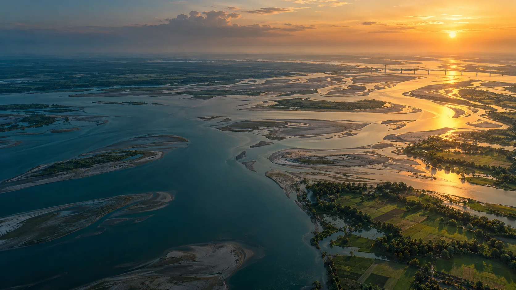
River Delta Resilience: Advanced Bathymetric Sounding and Riverbed Morphology Modeling
How dual-frequency sonar and acoustic Doppler current profilers (ADCP) provide civil engineers with the cross-section hydrography required to stabilize river training structures along the Jamuna basin.
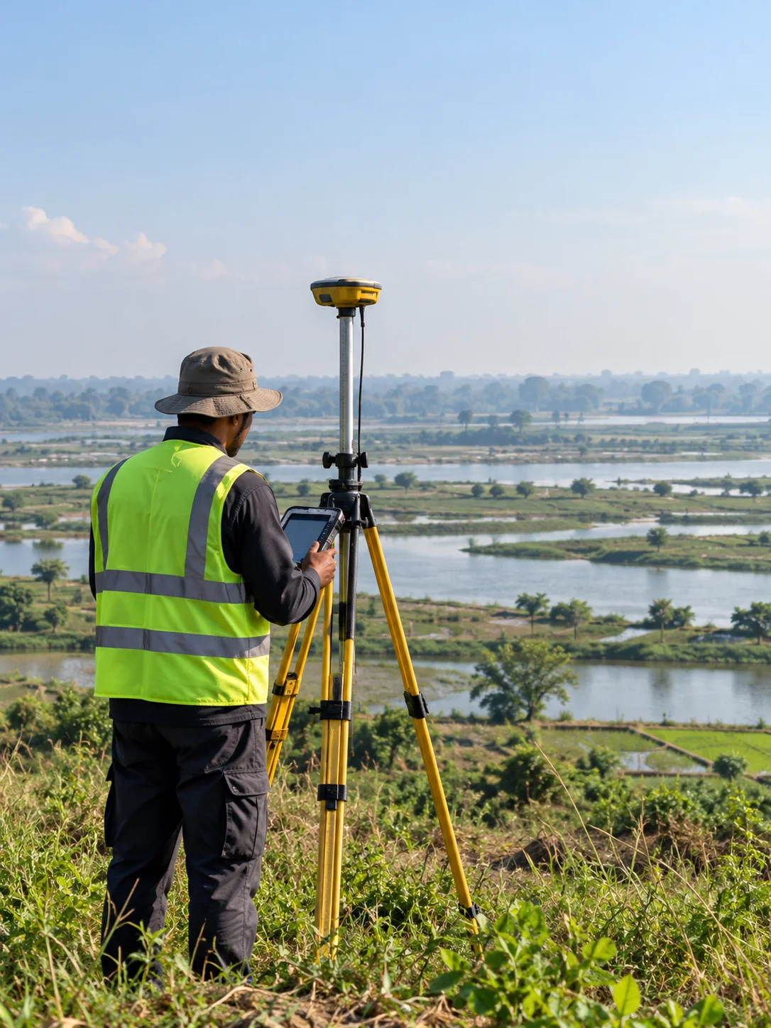
Sub-Centimeter Geodesy: Establishing Reliable Vertical Control for National Transport Corridors
A deep dive into high-precision RTK GNSS base-rover networks, geoid undulation corrections, and benchmark tying across tidal delta floodplains.
Transforming Municipal Water Distribution into Enterprise GIS Digital Twins
Geospatial Works successfully completes subsurface pipeline detection and valve geodatabase integration covering 450 km of municipal pipelines in Dhaka.