
River Delta Resilience: Advanced Bathymetric Sounding and Riverbed Morphology Modeling
How dual-frequency sonar and acoustic Doppler current profilers (ADCP) provide civil engineers with the cross-section hydrography required to stabilize river training structures along the Jamuna basin.
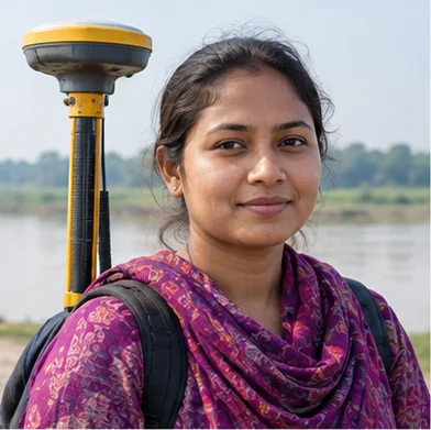
Engr. Mahbubur Rahman
Head of Hydrographic & Bathymetric Engineering
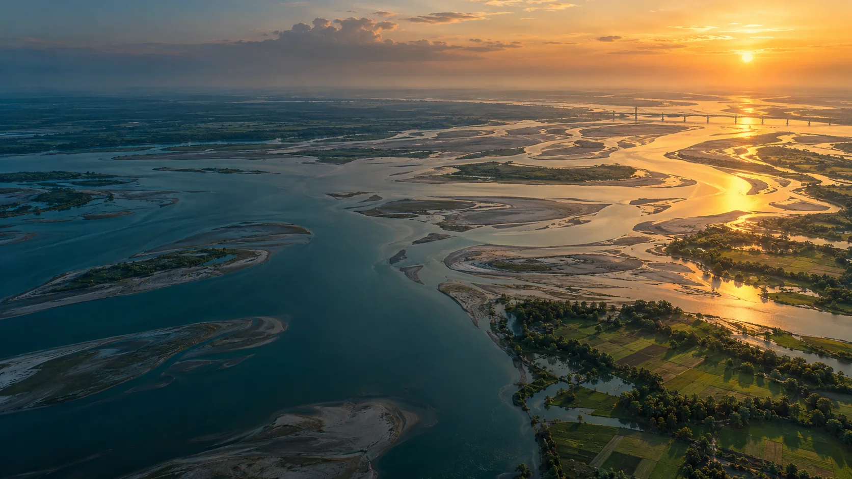
The Dynamics of Tidal Floodplain Sedimentation
The Bengal Delta represents one of the most morphologically active river systems on earth. Annual monsoon discharges carry over a billion tons of suspended sediment through the Padma, Jamuna, and Meghna braided rivers, resulting in drastic channel shifting, scour hole formation, and embankment destabilization.
Conventional single-beam or manual lead-line soundings cannot capture the volumetric bathymetry necessary to design resilient river defense revetments. By integrating dual-frequency survey-grade echo sounders with RTK-corrected heave, pitch, and roll sensors, Geospatial Works captures 3D underwater terrain with decimeter-level volumetric fidelity.
“Precision underwater topographic models are no longer a luxury; they are the fundamental baseline required to prevent multi-million dollar embankment failures.”
— Engr. Mahbubur Rahman, Geospatial Works
Sensor Integration and Velocity Profiling
During our field missions on the Jamuna corridor, our hydrographic team paired multibeam bathymetric systems with Acoustic Doppler Current Profilers (ADCP). This dual deployment enabled simultaneous mapping of riverbed contours and 3D velocity vectors across the water column.
The resulting datasets allow hydraulic engineers to model localized turbulence near guide bunds and spur dikes, pinpointing areas where high-velocity eddies are carving underwater scour pools before surface bank collapse occurs.
Actionable Deliverables for River Basin Authorities
Deliverables included calibrated cross-sectional bathymetric profiles every 50 meters, hydrodynamic digital elevation models, and change-detection heatmaps comparing pre- and post-monsoon riverbed elevations.
These insights empowered the Bangladesh Water Development Board (BWDB) and donor agencies to target dredging and geotextile bag revetments precisely where scour risk was highest, saving critical capital expenditure.
Related Insights
View all news & insights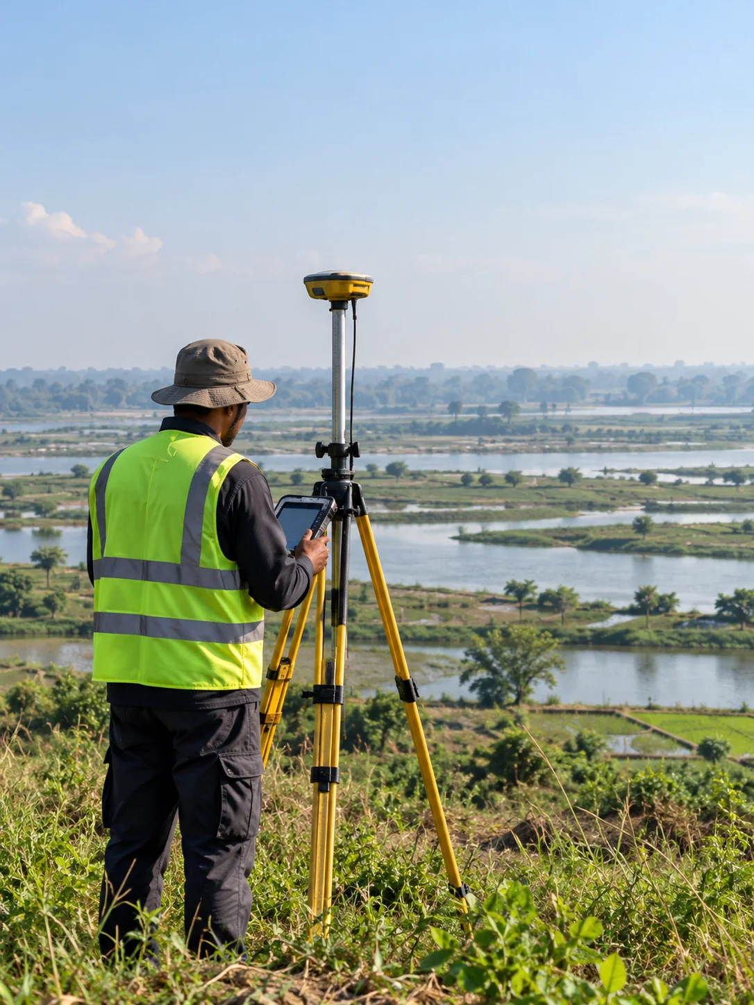
Sub-Centimeter Geodesy: Establishing Reliable Vertical Control for National Transport Corridors
A deep dive into high-precision RTK GNSS base-rover networks, geoid undulation corrections, and benchmark tying across tidal delta floodplains.
Transforming Municipal Water Distribution into Enterprise GIS Digital Twins
Geospatial Works successfully completes subsurface pipeline detection and valve geodatabase integration covering 450 km of municipal pipelines in Dhaka.
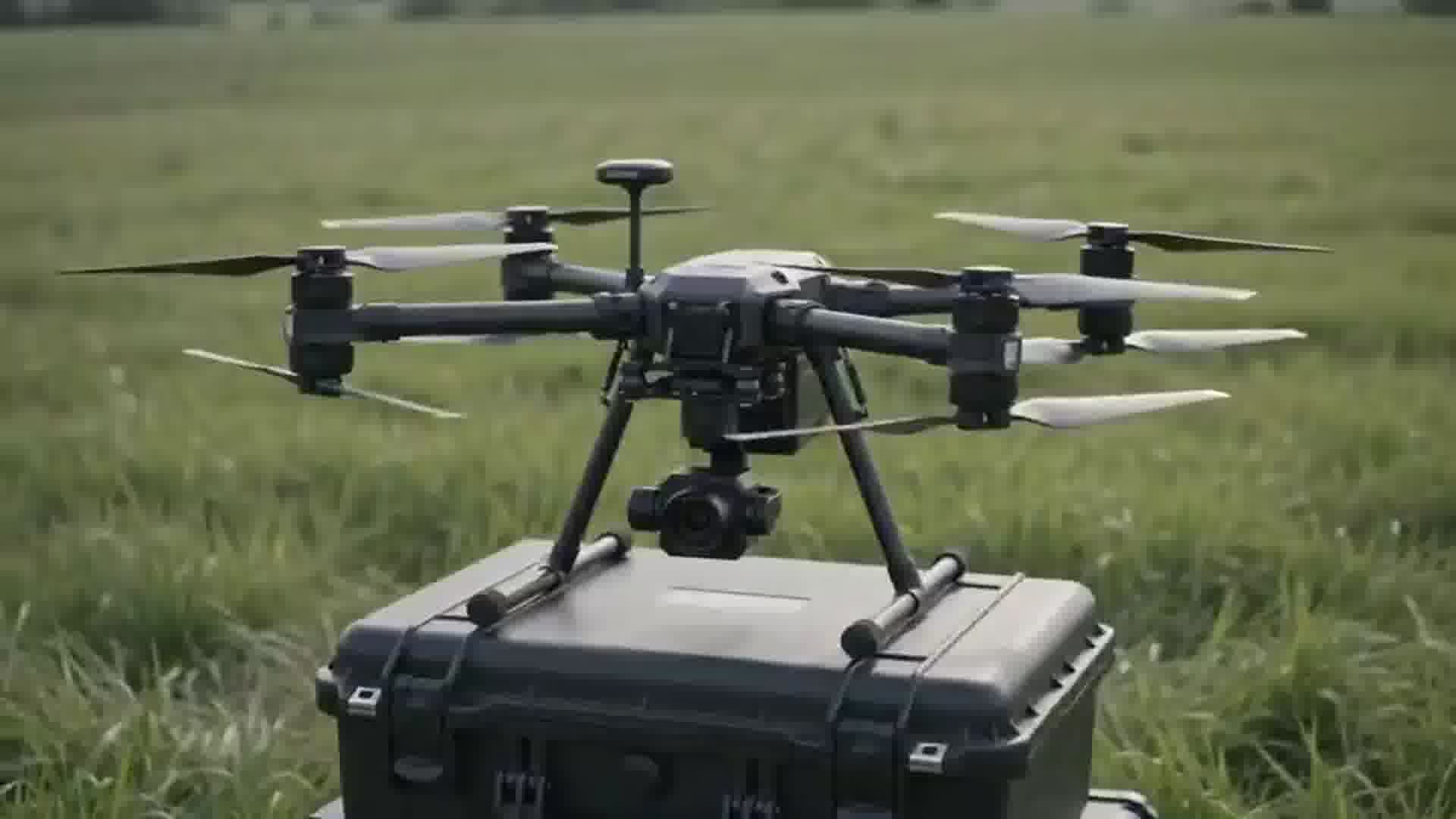
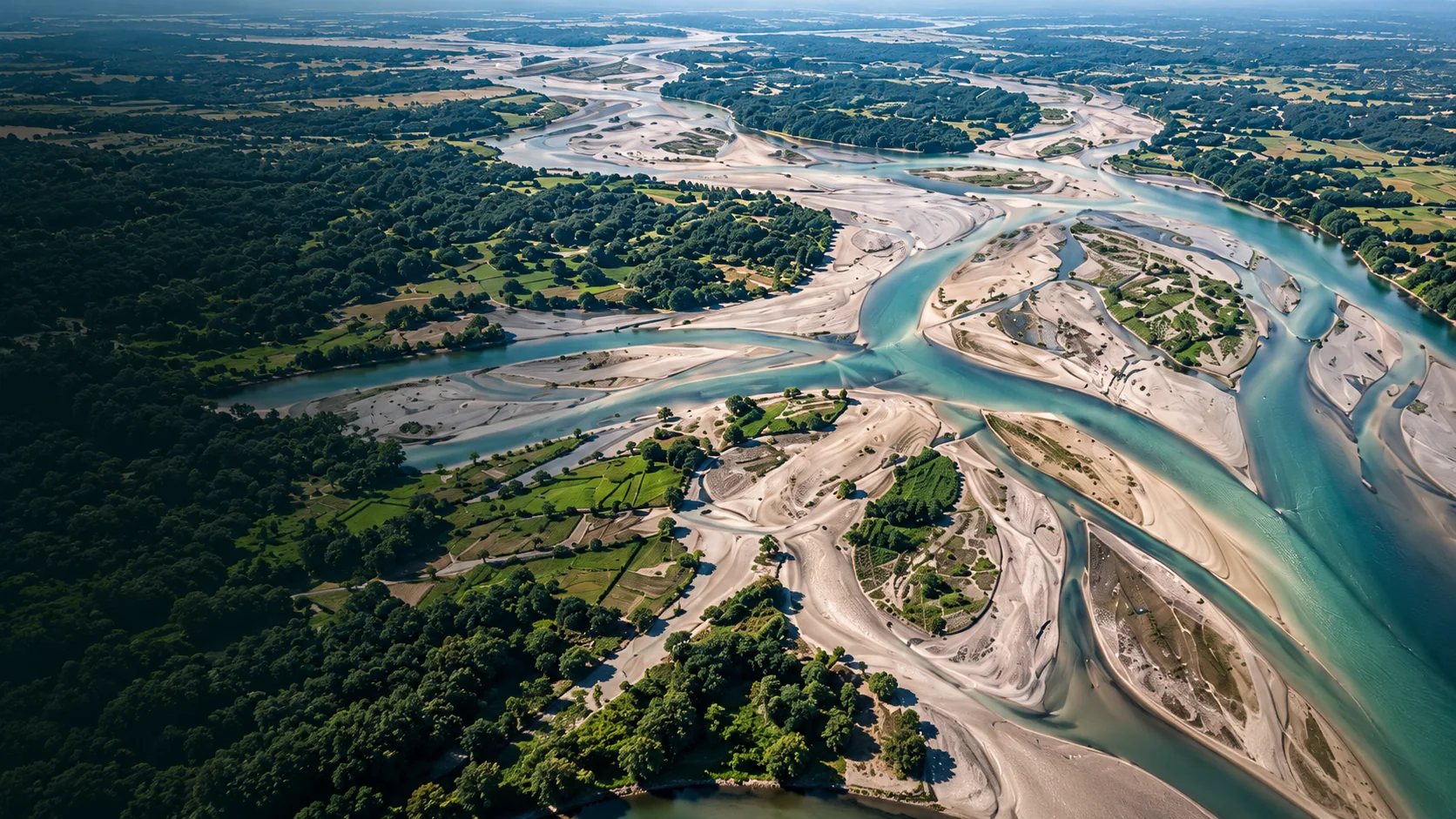
High-Density Airborne UAV LiDAR: Piercing Dense Vegetative Canopy for Flood Modeling
Extracting bare-earth digital elevation models (DEM) through dense mangrove and delta vegetation to assist disaster management boards.