
Sub-Centimeter Geodesy: Establishing Reliable Vertical Control for National Transport Corridors
A deep dive into high-precision RTK GNSS base-rover networks, geoid undulation corrections, and benchmark tying across tidal delta floodplains.
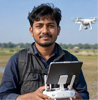
Tanvir Hossain
Lead Geodetic Surveyor & GNSS Specialist
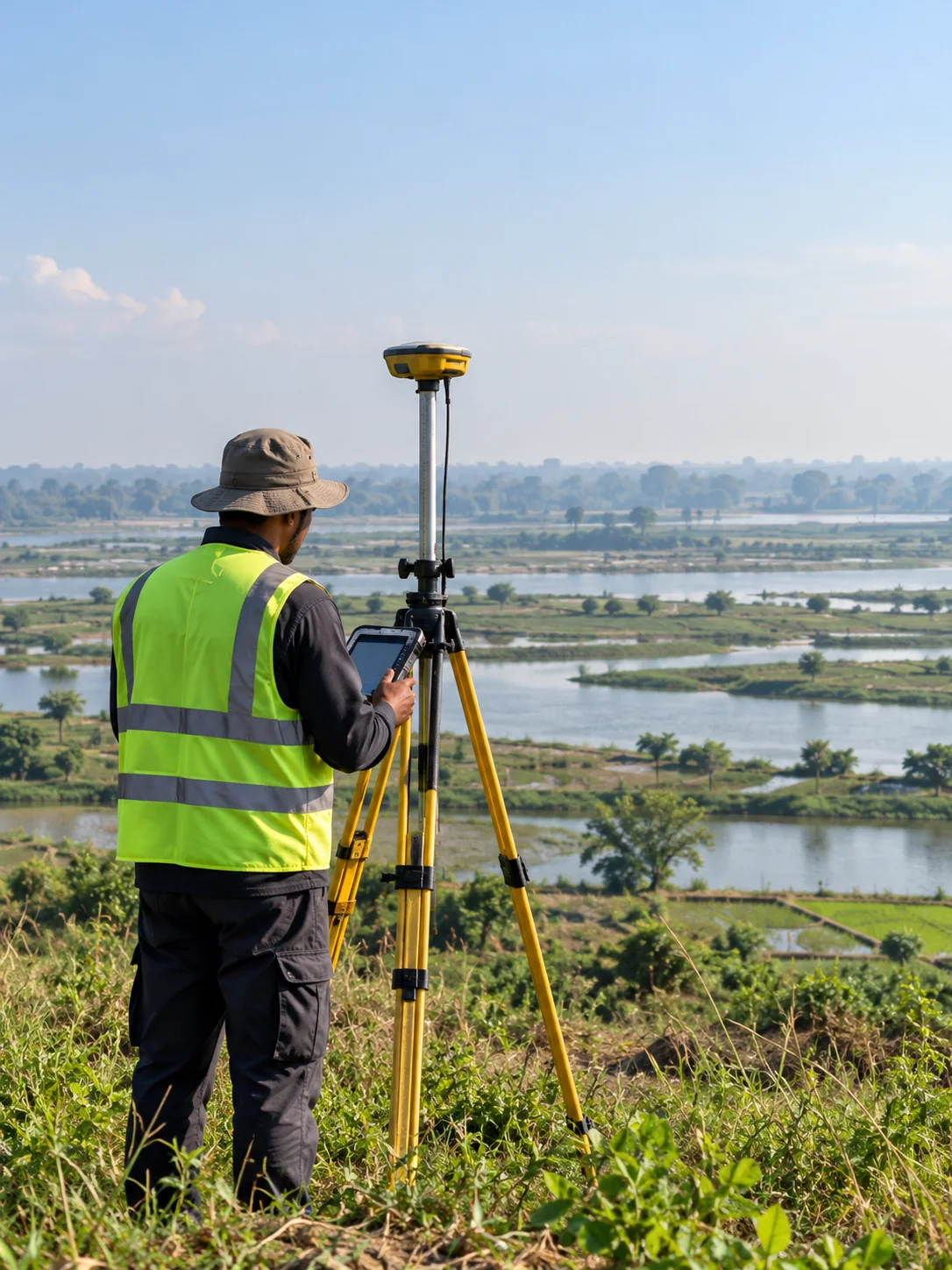
The Challenge of Vertical Control in Delta Soil
In major infrastructure projects such as elevated expressways, high-speed rail, and long-span river bridges, vertical precision is paramount. A 2-centimeter elevation error over a 500-meter span can cause catastrophic alignment defects, drainage pooling, and bridge bearing mismatches.
In Bangladesh, establishing rigid vertical benchmarks is complicated by deep alluvial soil settlement, seasonal water table variations, and differing historical datum baselines (PWD vs. MSL vs. SOB).
“Vertical precision is where good surveys become engineering truth. Without strict geodetic datum transformations, modern design models cannot translate to ground realities.”
— Tanvir Hossain, Geospatial Works
Closed-Loop Geodetic Networks & CORS Integration
To establish uncompromised control, Geospatial Works deploys multi-constellation GNSS receivers (GPS, GLONASS, Galileo, BeiDou) linked to continuously operating reference stations (CORS) and permanent concrete geodetic pillars.
Every primary monument undergoes static GNSS observation sessions lasting 6 to 12 hours, followed by rigorous least-squares network adjustments and digital leveling using barcode invar staffs to achieve millimeter-level closure.
Seamless CAD & BIM Handover
The adjusted coordinates and elevations are converted directly into project-specific localized grid coordinates (such as BTM - Bangladesh Transverse Mercator) with documented scale factors, ensuring contractor survey teams experience zero coordinate divergence throughout construction.
Related Insights
View all news & insights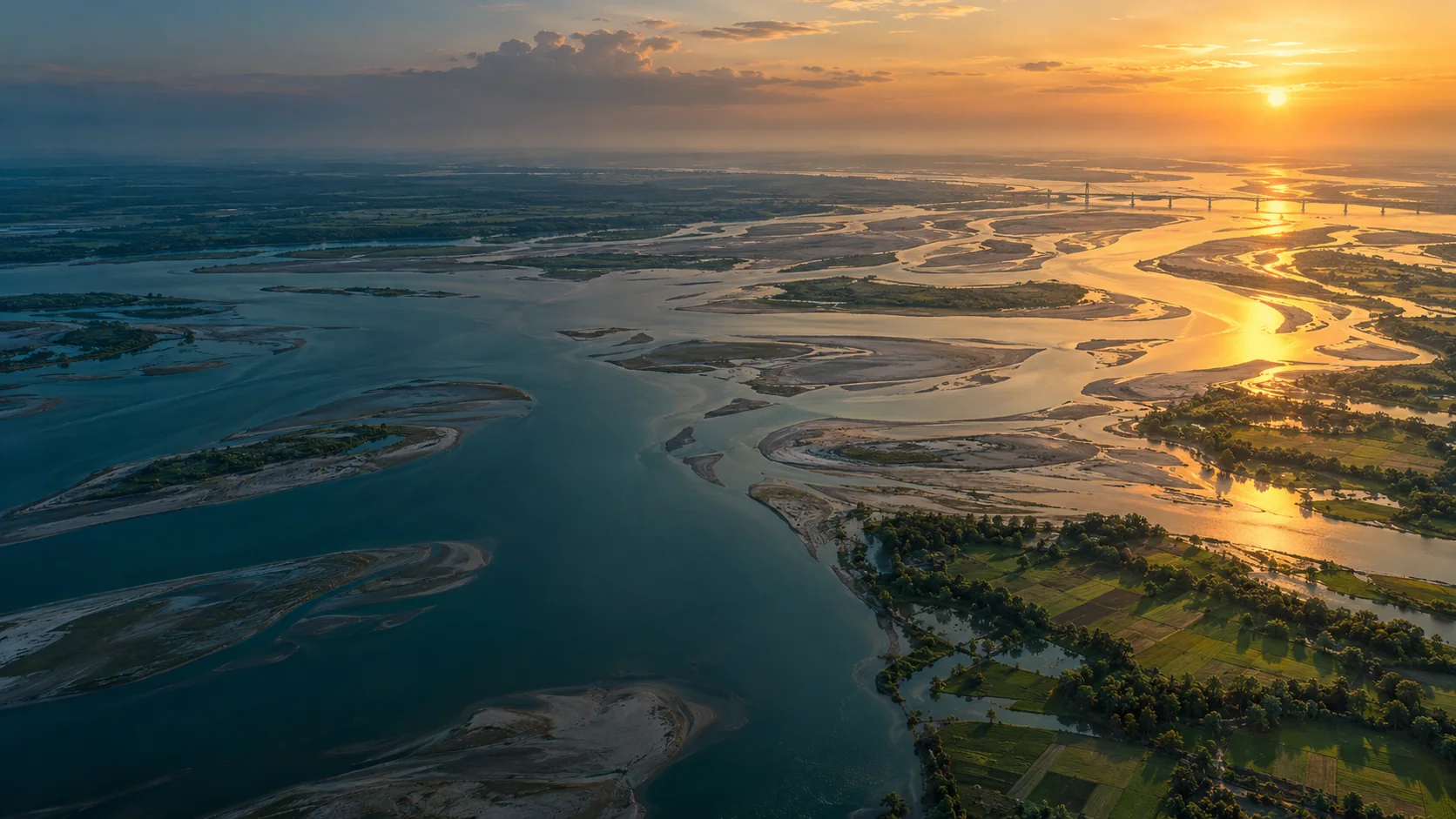
River Delta Resilience: Advanced Bathymetric Sounding and Riverbed Morphology Modeling
How dual-frequency sonar and acoustic Doppler current profilers (ADCP) provide civil engineers with the cross-section hydrography required to stabilize river training structures along the Jamuna basin.
Transforming Municipal Water Distribution into Enterprise GIS Digital Twins
Geospatial Works successfully completes subsurface pipeline detection and valve geodatabase integration covering 450 km of municipal pipelines in Dhaka.
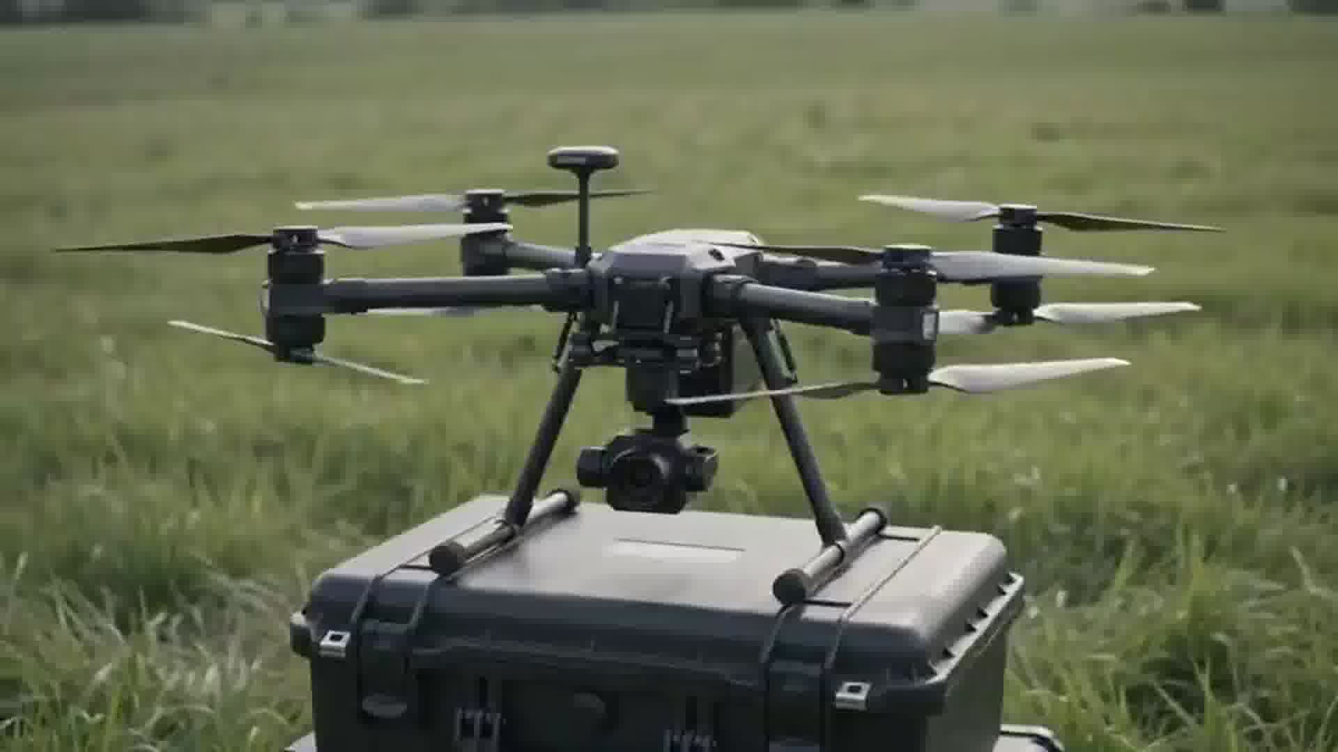
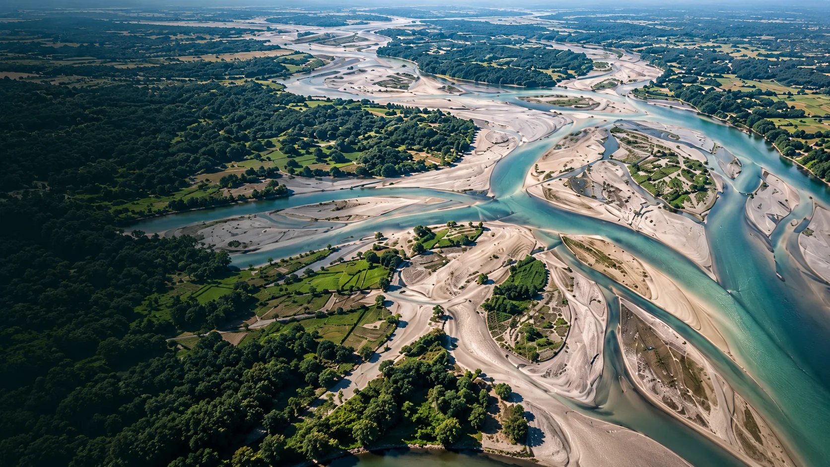
High-Density Airborne UAV LiDAR: Piercing Dense Vegetative Canopy for Flood Modeling
Extracting bare-earth digital elevation models (DEM) through dense mangrove and delta vegetation to assist disaster management boards.