
G+15 Residential Landmark in Mymensingh
High-rise residential landmark tower designed with articulated massing, entrance lobby, modern facade composition, and seismic shear wall structural design.
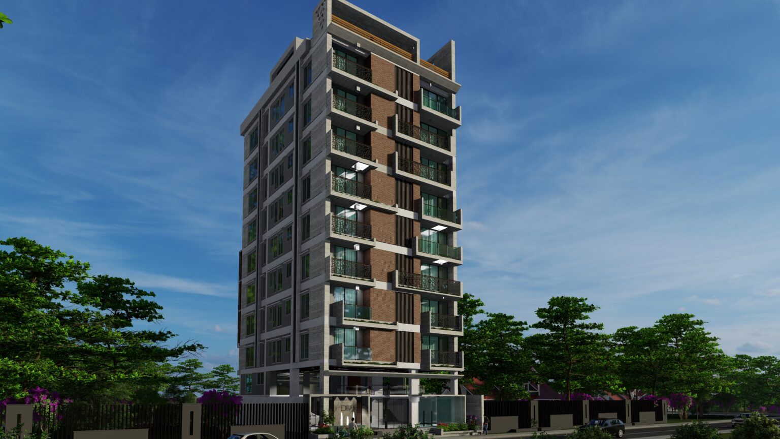
High-Precision Ground Truth in Challenging Environments
Bangladesh’s dynamic terrain—ranging from rapid delta sediment shifts and complex riverbanks to densely populated urban utility mazes—demands uncompromising measurement accuracy. Geospatial Works deployed advanced geodetic positioning, sensor fusion, and multi-temporal photogrammetry to provide actionable spatial intelligence for this landmark initiative.
Complex Terrain, Dense Infrastructure & Strict Tolerances
The client required sub-centimeter horizontal alignment and millimetric vertical datum benchmarking under tight project deadlines. Traditional surveying methodologies were impeded by seasonal water level fluctuations, vegetative canopy interference, and high-traffic arterial obstructions.
How Geospatial Works Delivered
Our survey engineers designed a hybrid observation matrix combining dual-frequency GNSS RTK base/rover setups, airborne UAV photogrammetry, and specialized acoustic or electromagnetic detection instruments:
Tied directly to national Survey of Bangladesh (SOB) benchmarks with rigorous closed-loop traverse validation.
High-density point clouds classified into ground, vegetation, and structural layers for precise digital terrain generation.
Non-destructive underground utility detection combined with calibrated bathymetric echo soundings.
Seamless spatial geodatabases compatible with AutoCAD Civil 3D, ArcGIS Pro, and web digital twins.
Verified Client Deliverables
Architectural blueprints, 3D photorealistic renderings, ETABS structural modeling, and electrical/plumbing MEP drawings.
Related Projects
View all projects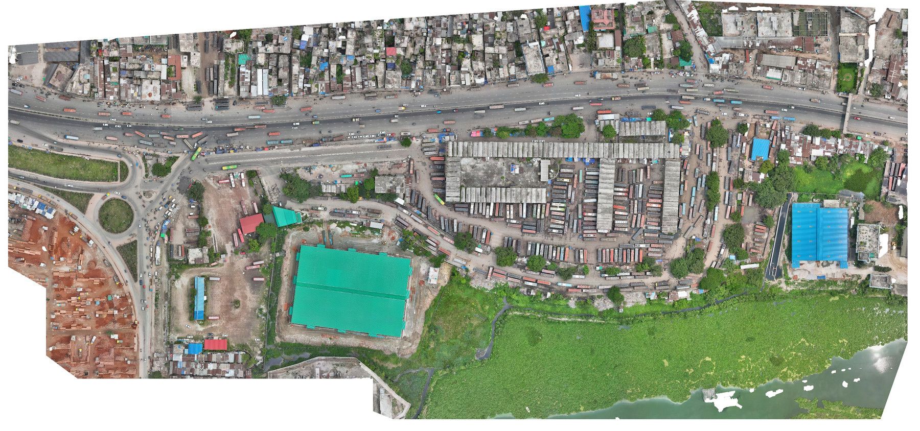
Gabtoli Inter-District Bus Terminal Modernization
Construction of ticket counters, modernization of passenger waiting rooms, standard toilet facilities, drainage improvement, and passageways development.
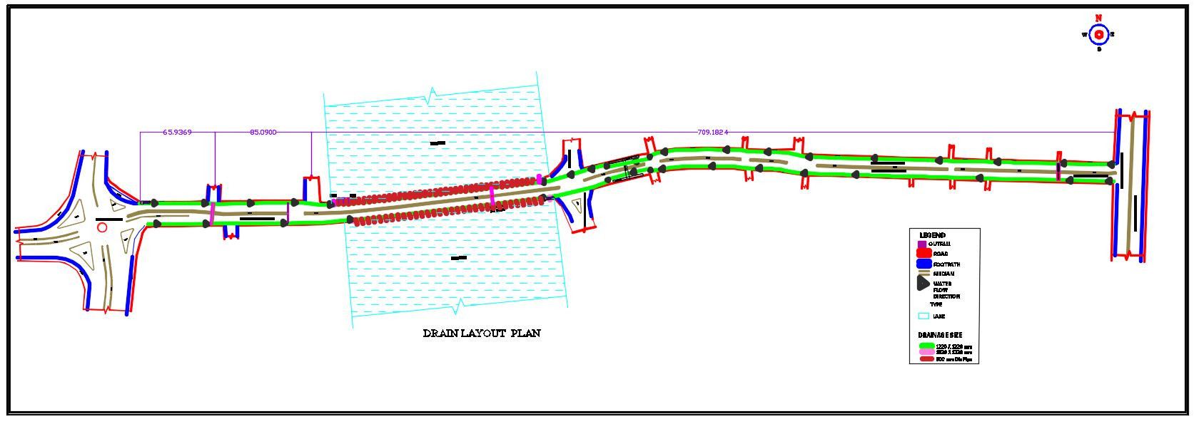
Gulshan–Badda Link Road & Drainage Improvement
Construction of RCC median, drain, footpath, passenger shed, grill fencing, and installation of traffic signs from Gulshan-1 to Progati Sarani, plus Road 130 & 134.
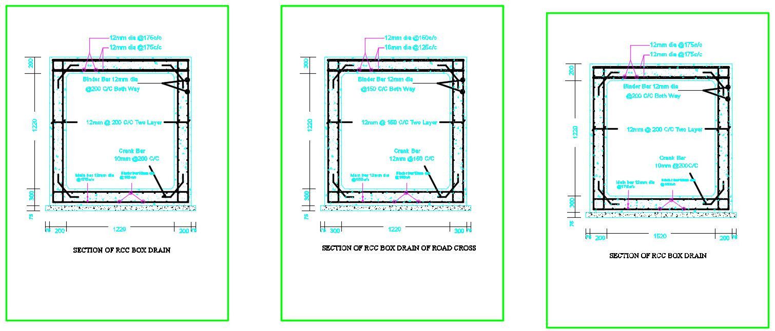
Mohakhali Inter-District Bus Terminal Modernization
Comprehensive civil modernization: waiting areas, ticket counters, sanitation blocks, boundary walls, and passenger traffic flow optimization.