
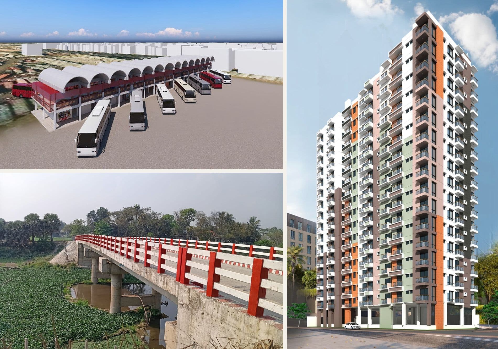
Our National Impact: Grounded in Ground Truth
From the Bangladesh Railway connectivity network to inter-district bus terminals, RCC girder bridges, and high-rise towers, explore our physical engineering milestones.
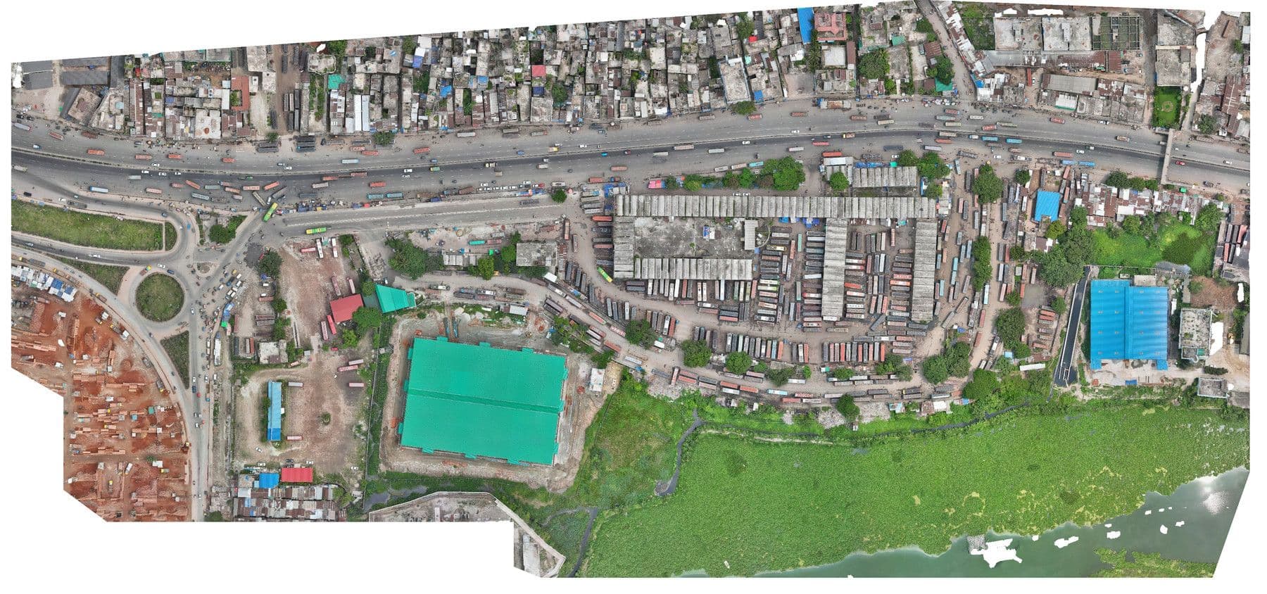
Gabtoli Inter-District Bus Terminal Modernization
Construction of ticket counters, modernization of passenger waiting rooms, standard toilet facilities, drainage improvement, and passageways development.
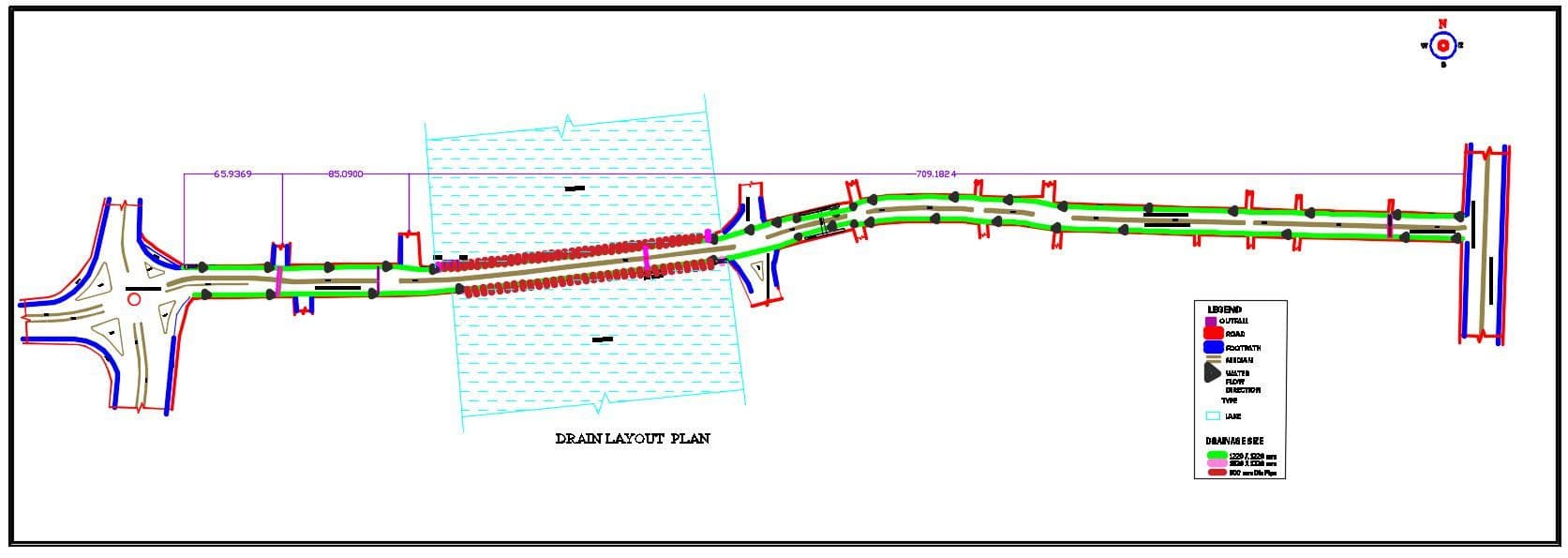
Gulshan–Badda Link Road & Drainage Improvement
Construction of RCC median, drain, footpath, passenger shed, grill fencing, and installation of traffic signs from Gulshan-1 to Progati Sarani, plus Road 130 & 134.
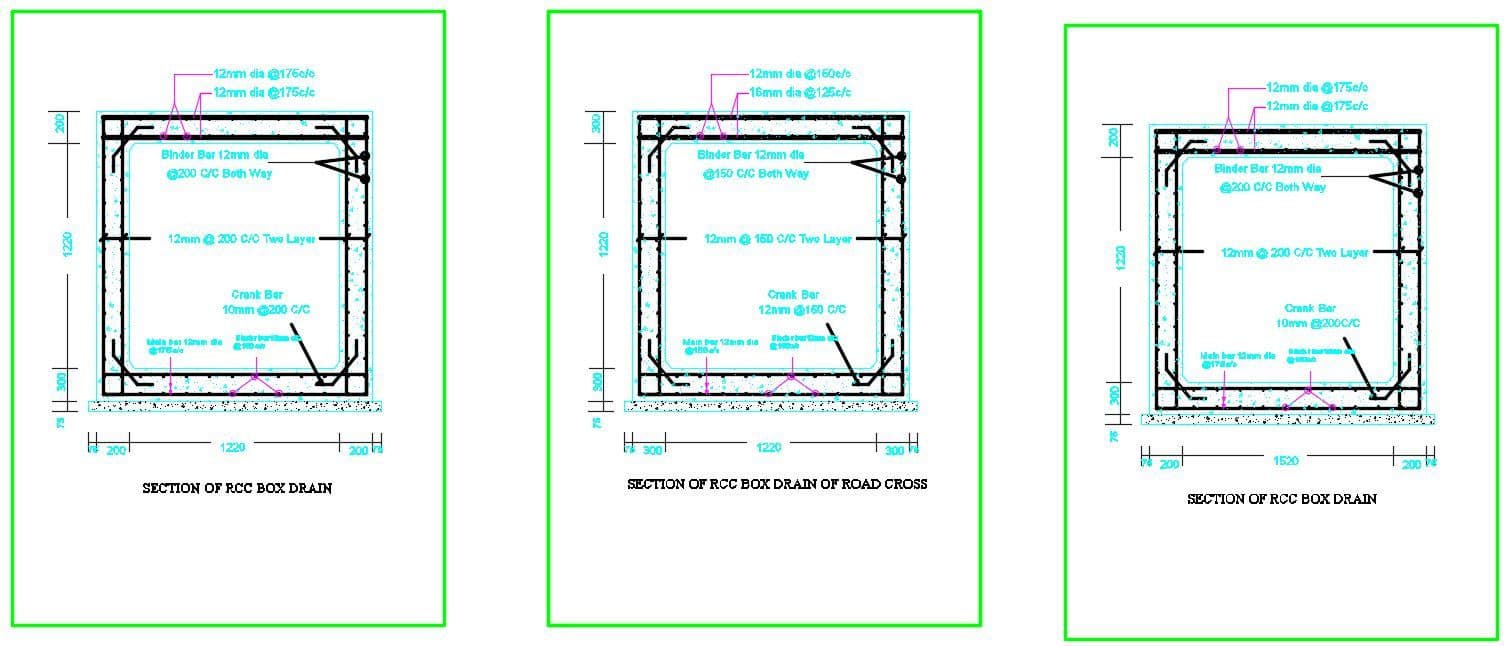
Mohakhali Inter-District Bus Terminal Modernization
Comprehensive civil modernization: waiting areas, ticket counters, sanitation blocks, boundary walls, and passenger traffic flow optimization.
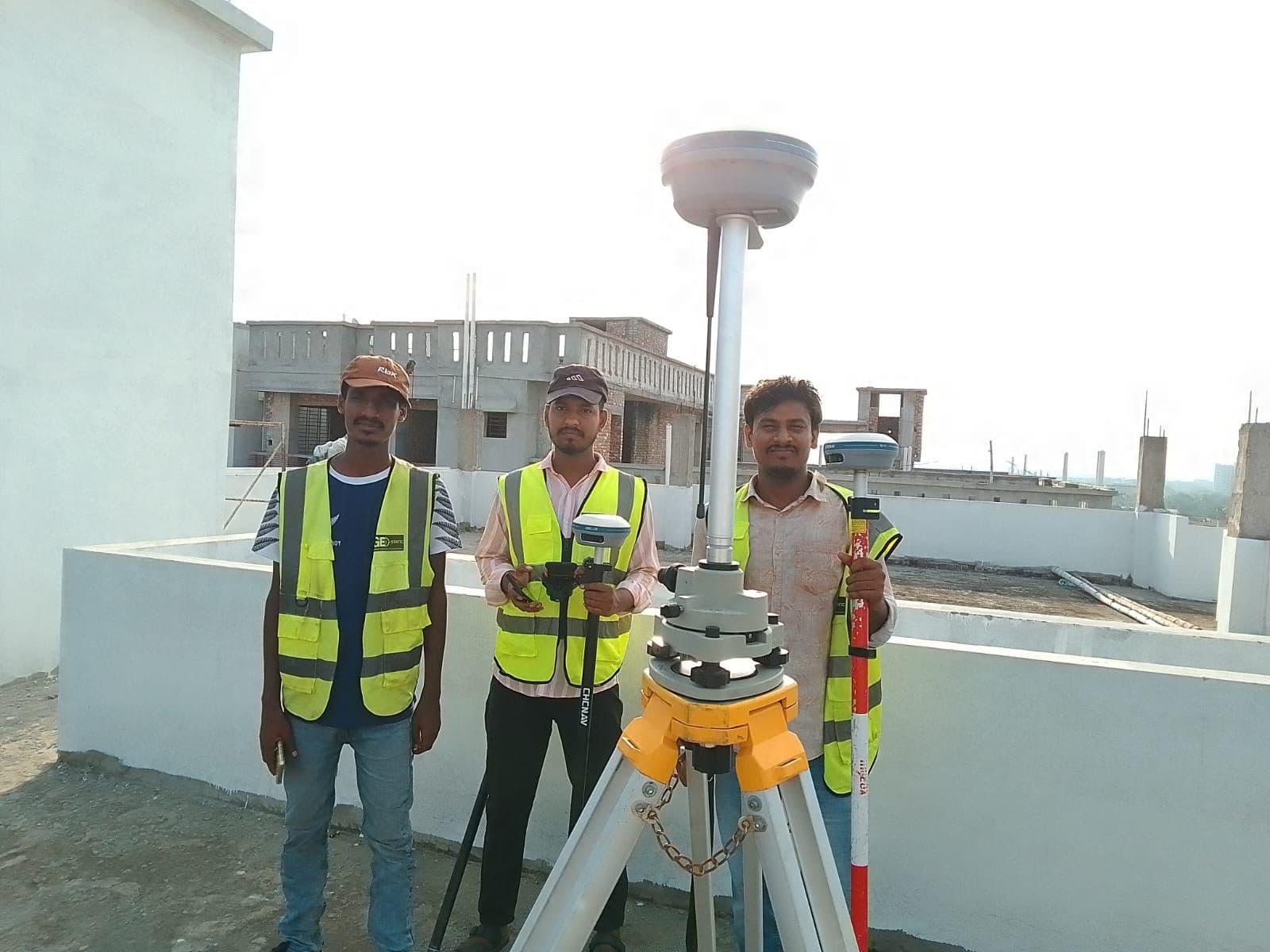
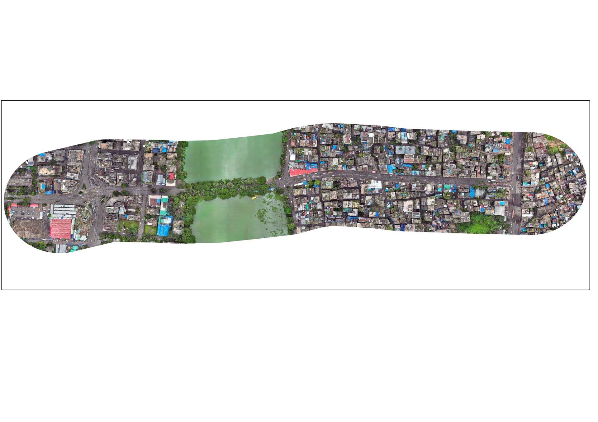
Tejgaon Truck Terminal Modernization Survey
Detailed topographic, boundary, and physical feature survey for the modern reconfiguration of Tejgaon Truck Terminal.
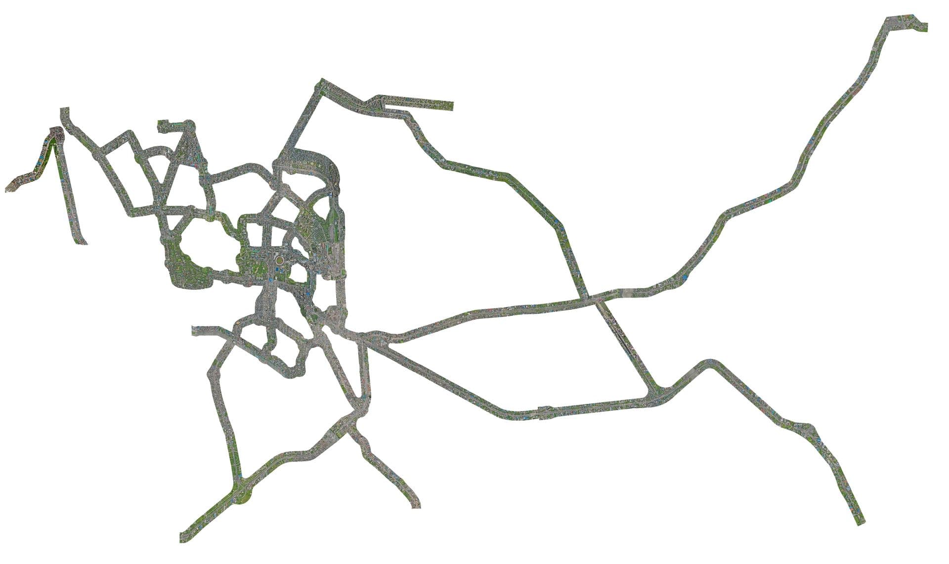
Greater Dhaka Bus Rapid Transit Depots & Corridors
Approx. 200 km road survey using RTK and RTK-enabled UAV under DSCC jurisdiction by DTCA for bus route rationalization and transit terminal hubs.
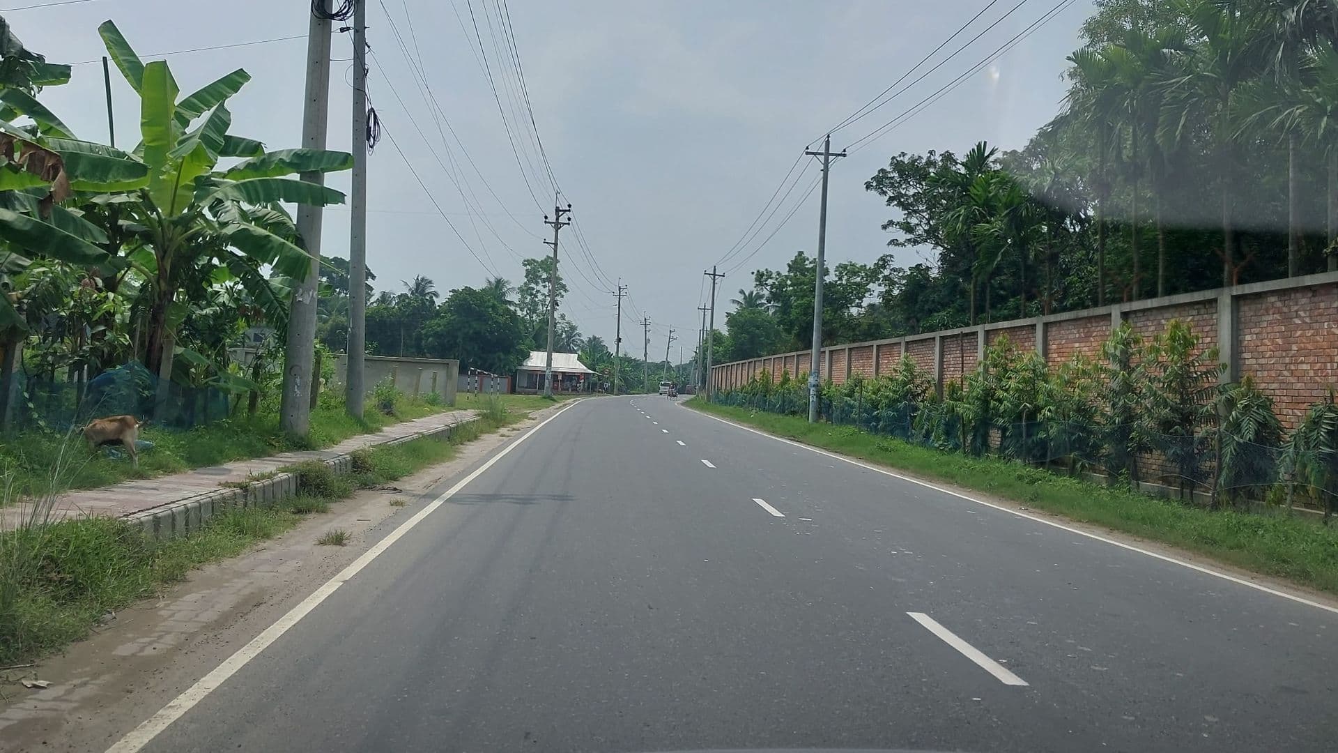
450 km Detail Road Survey using RTK
Approx. 450 km detail road survey using RTK for rural and peri-urban transport network upgrading under LGED.
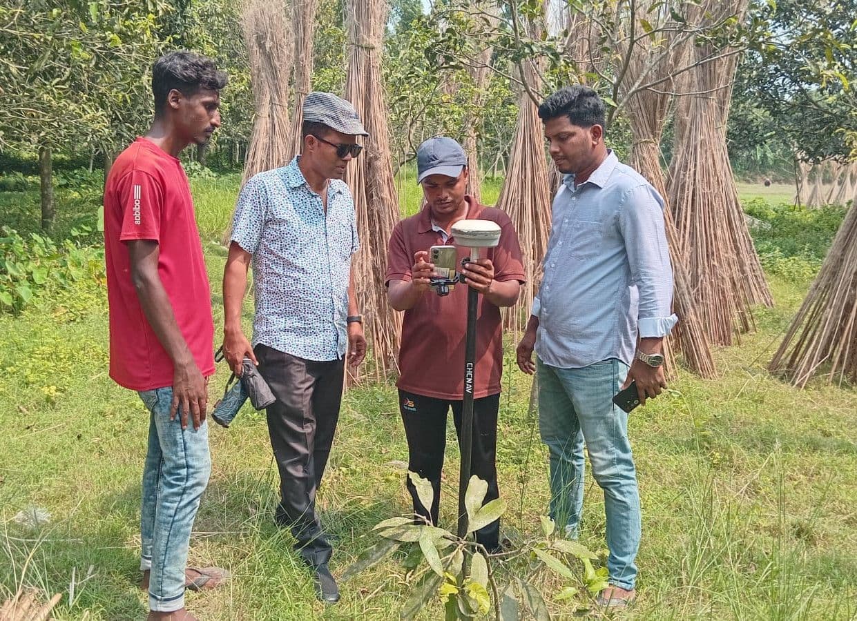
Sustainable & Integrated Rural Transport (SIRTP/CSmaRT) 800 km Survey
800 km road survey and geodetic TBM setup using RTK under the Climate Smart Rural Transport Project (CSmaRT) by LGED.
ECB–Jahimuddin Detail Road Survey
Precision topographic and roadway cross-section survey for military engineering road improvement works.
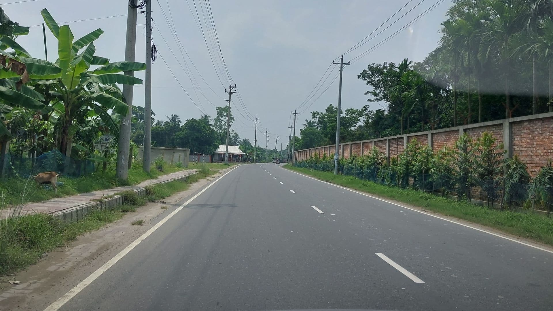
Rupshi GC – Kanchan GC via Murapara GC Road (13.775 km)
Improvement of 13.775 km route with associated RCC drainage structures, pavement widening, and replacement of existing sluice gates.
Kanchan GC – Sornakhali Bazar – Chanpara RHD Road (7.30 km)
Improvement of 7.30 km route linking Kanchan Growth Center and Chanpara RHD Road with RCC box culverts at designated chainages.
Rupshi Kanchan GC to Dagarkhal via Karnogoup (3.32 km)
Improvement of 3.32 km carriageway corridor, roadside power infrastructure offsets, and drainage structures.
Road Improvement Project for Gangni Pourashava
Topographic survey, road centerline alignment, and drainage layout for municipal urban infrastructure development.
Road Improvement Project for Meherpur Pourashava
Municipal road network survey, leveling traverses, and pavement geometry improvement.
Improving Urban Governance & Infrastructure (UGIIP), Shibganj
Detailed municipal topographic surveys, drainage masterplans, and community infrastructure mapping.
Chhatak Ropeway Transportation Survey Project
Specialized terrain survey and alignment profiling for the historic industrial Chhatak aerial ropeway transport system.
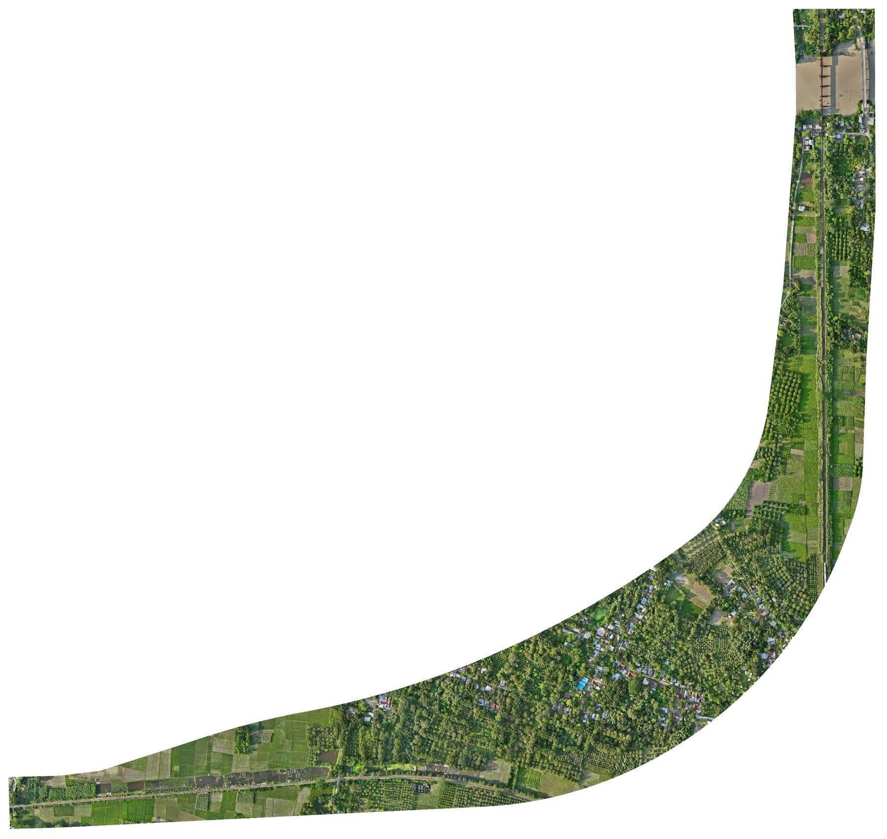
Abdulpur Railway Bypass under RCIPF Subproject 2
Detail topographic survey using RTK and RTK-enabled UAV across 40+ acres of railway corridor under the Railway Connectivity Improvement Preparatory Facility.
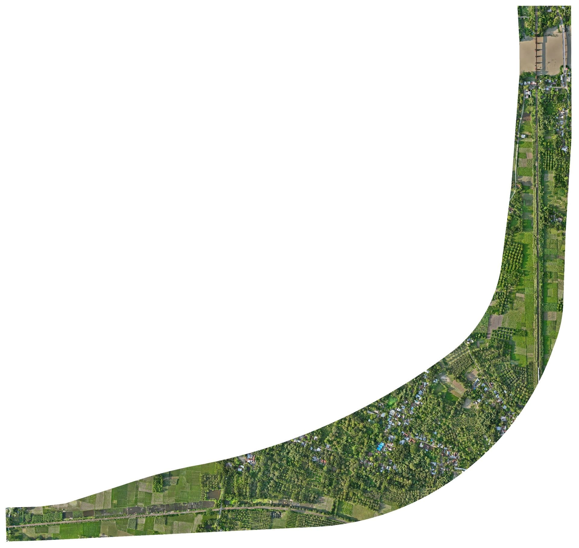
Pahartoli GER Shop Topographic & UAV Survey
Detail topographic survey using RTK and RTK-enabled UAV at General Electrical & Mechanical Repair (GER) Shop, Pahartoli railway workshop depot under RCIPF.

Mouza & Plot Based National Digital Land Zoning Project
Landmark national project collecting 10,000+ Ground Control Points (GCPs) using RTK across all 64 districts in Phase 1 & 2 for digital cadastre and agricultural land zoning.
BPDB LT & HT Power Distribution Pole Survey (100,000 Poles)
High-precision RTK geospatial data collection for approx. 1 LAC (100,000) low-tension and high-tension electrical distribution poles across national utility grids.
PDB HT Pole Survey, Ghatura & Datiara Sub-Stations
Geodetic positioning and spatial asset mapping for high-tension feeder lines and electrical distribution substations.
PDB LT Pole Survey, Trishal, Gafargaon, Bhaluka & Phulpur
Comprehensive LT distribution pole mapping, electrical asset tagging, and GIS network connectivity modeling.
BREB Substation GCP Static Survey Network
Establishing high-order geodetic control networks using static GNSS mode across multiple BREB substations in Dhaka Zone.
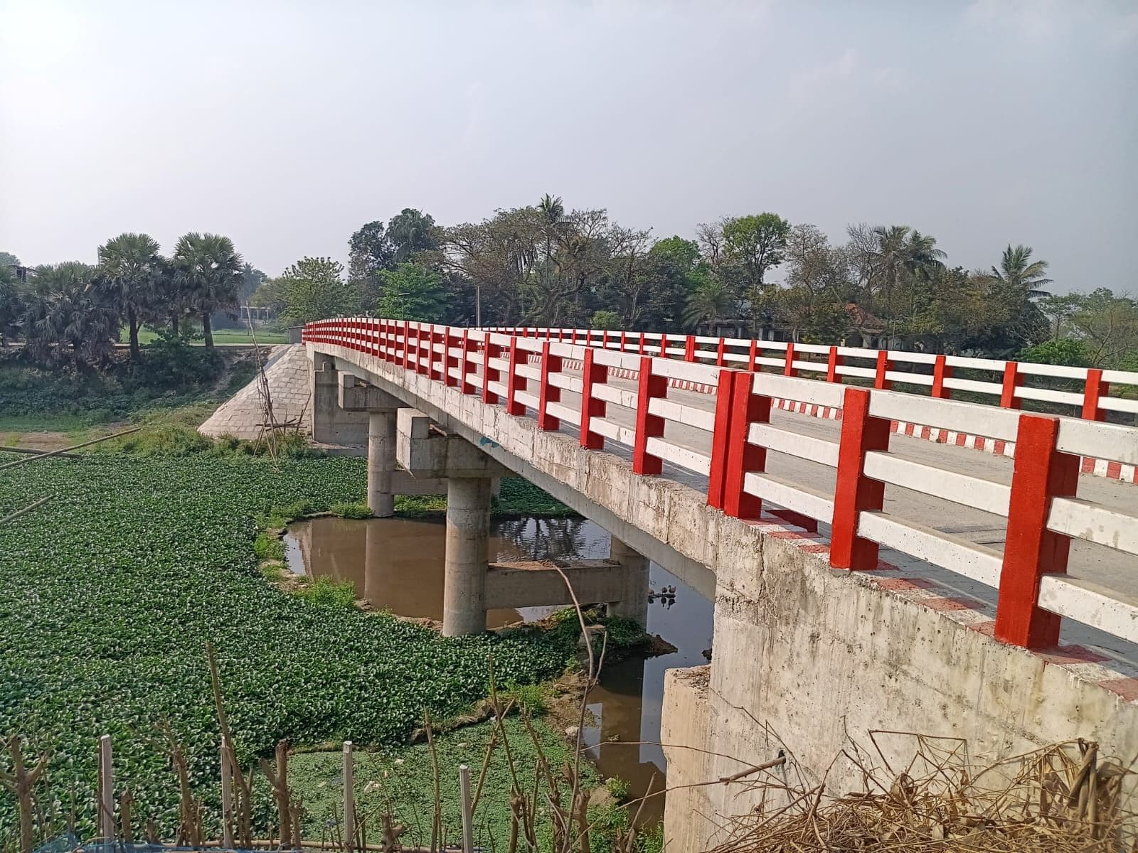
GCP Collection for Gopalganj Economic Zone 1
High-precision ground control point establishment for master planning, industrial site development, and infrastructure zoning.
UDD GCP Data Collection for 4 Upazilas
Ground control point establishment and geodetic reference monumentation across 4 upazilas for regional master planning.
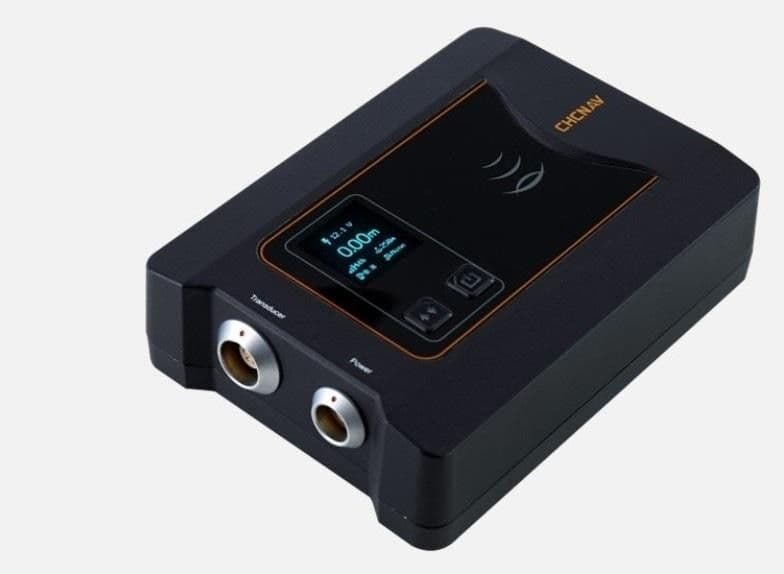
TBM Verification & Establishment for BSMRMU
Setting up permanent geodetic benchmark monuments tied to national vertical datum for campus civil construction.
TBM Establishment in Char Kolatoli & Char Jahiruddin
Vertical benchmark transfer and control pillar installation in remote coastal chars for coastal embankment monitoring.
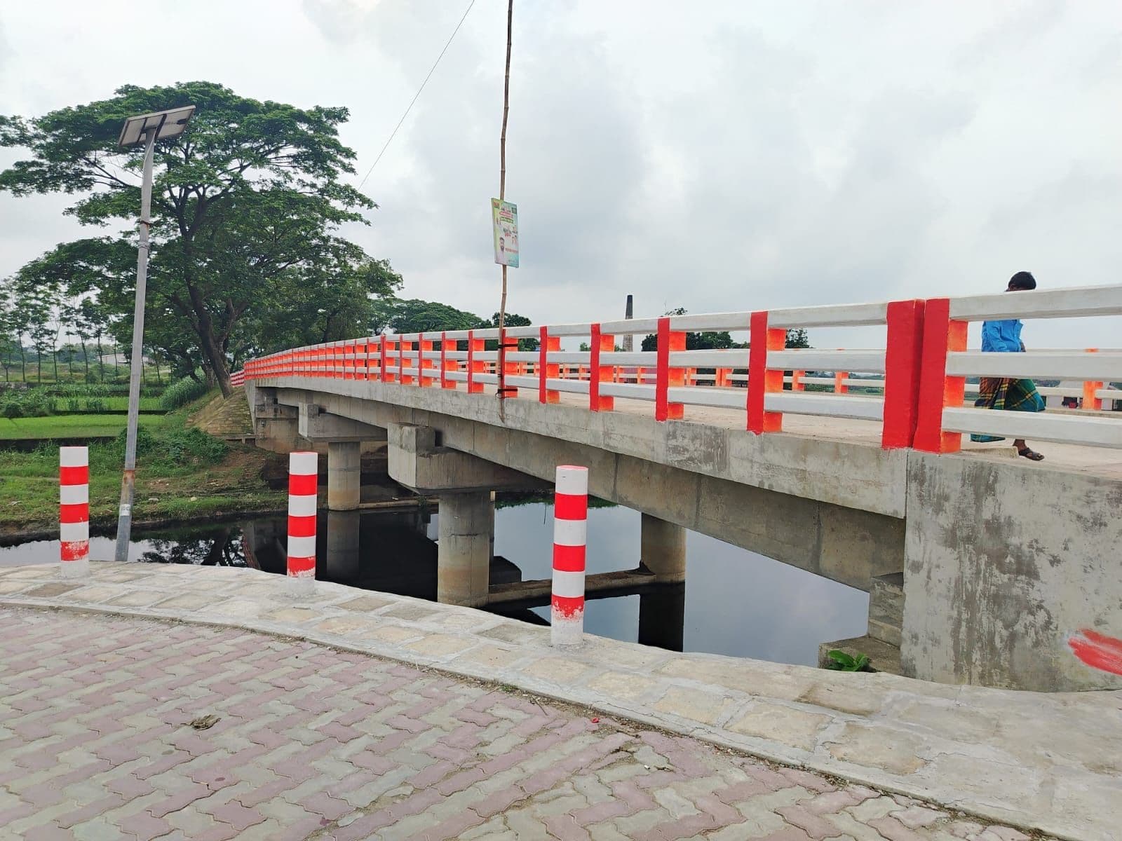
42m Span RCC Girder Bridge at Shadhapur
Construction of 42.00m long RCC girder bridge at Ch. 2+800m. Bridge girder structural design, abutment, piers, hydraulic scouring, and approach road alignment.
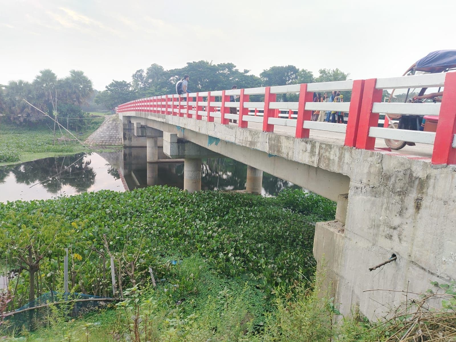
51m Long RCC Girder Bridge on Kornapara–Nama Genda Road
Construction of 51m RCC girder bridge at Ch. 2+580m over local waterway, with multi-span prestressed girder beams and approach revetments.
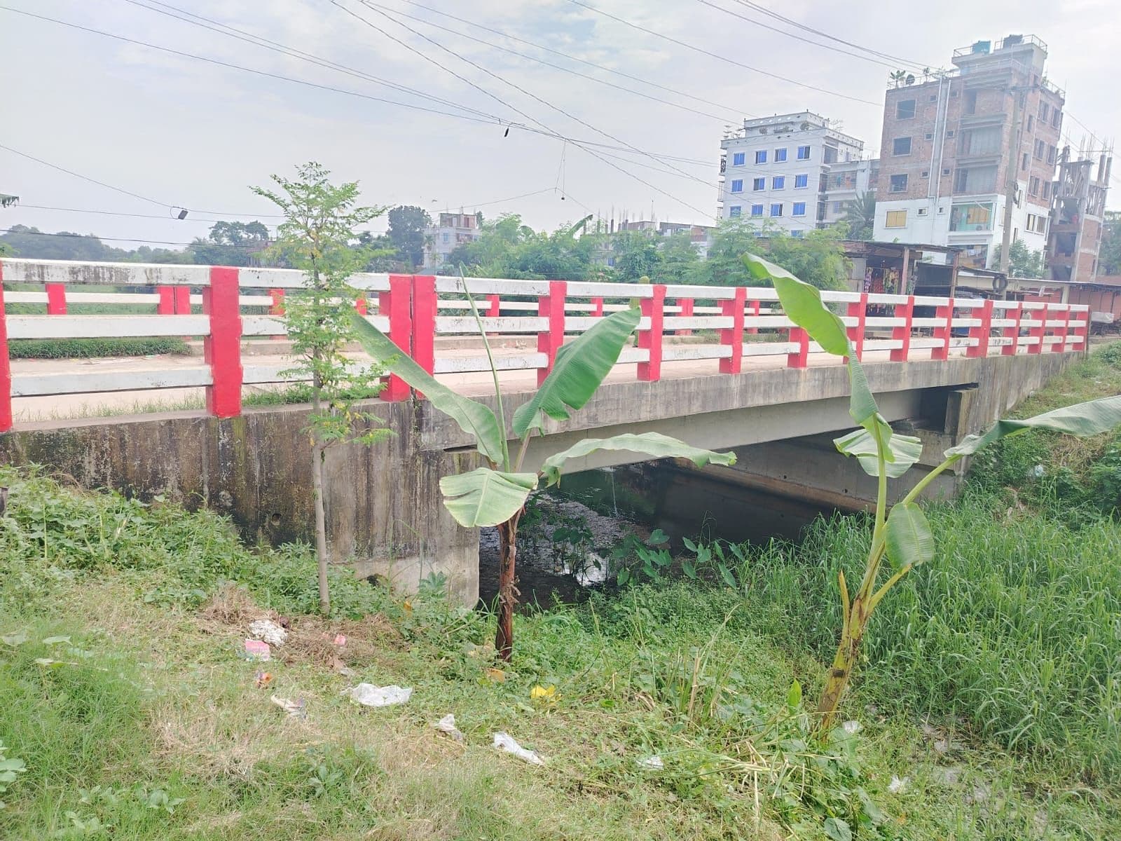
12m RCC Girder Bridge on Savar Bus Stand–Kalma Route
Construction of 12m RCC girder bridge at Ch. 1+504m on Savar Bus-Stand Bazar–Kalma route via Savar UP Road.
42m RCC Girder Bridge at Dairy Farm Gate–Pathalia UP Office
Construction of 42.00m long RCC girder bridge at Ch. 3+230m on Dhaka–Aricha RHD at Dairy Farm Gate–Pathalia UP Office–Kashipur Road.
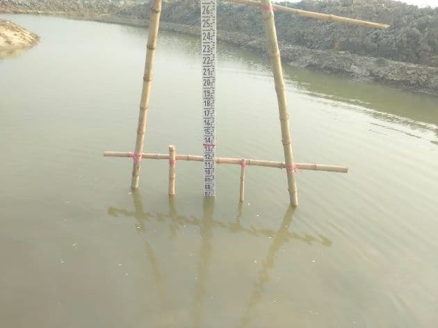
Proposed Islampur Bridge on Brahmaputra River Bathymetry
Bathymetric sounding and RTK topographic survey for the major proposed bridge crossing over the Brahmaputra River.
Proposed Khoksha Bridge Bathymetry & RTK Survey
Riverbed cross-section bathymetry, current flow assessment, and abutment ground survey for proposed bridge.
Proposed Doara Bazar Bridge Bathymetry & RTK Survey
Riverbed sounding across flash-flood prone river channel in haor basin for bridge hydraulic design.
Proposed Rangabali Bridge Coastal Bathymetry & RTK Survey
Tidal river bathymetry, hydrographic profiling, and approach embankment survey in coastal delta zone.
Proposed Bridge Connecting Deep Nagar & Silicon City
Channel bathymetry, riverbed sonar profiling, and topographic approach surveys for bridge connection.
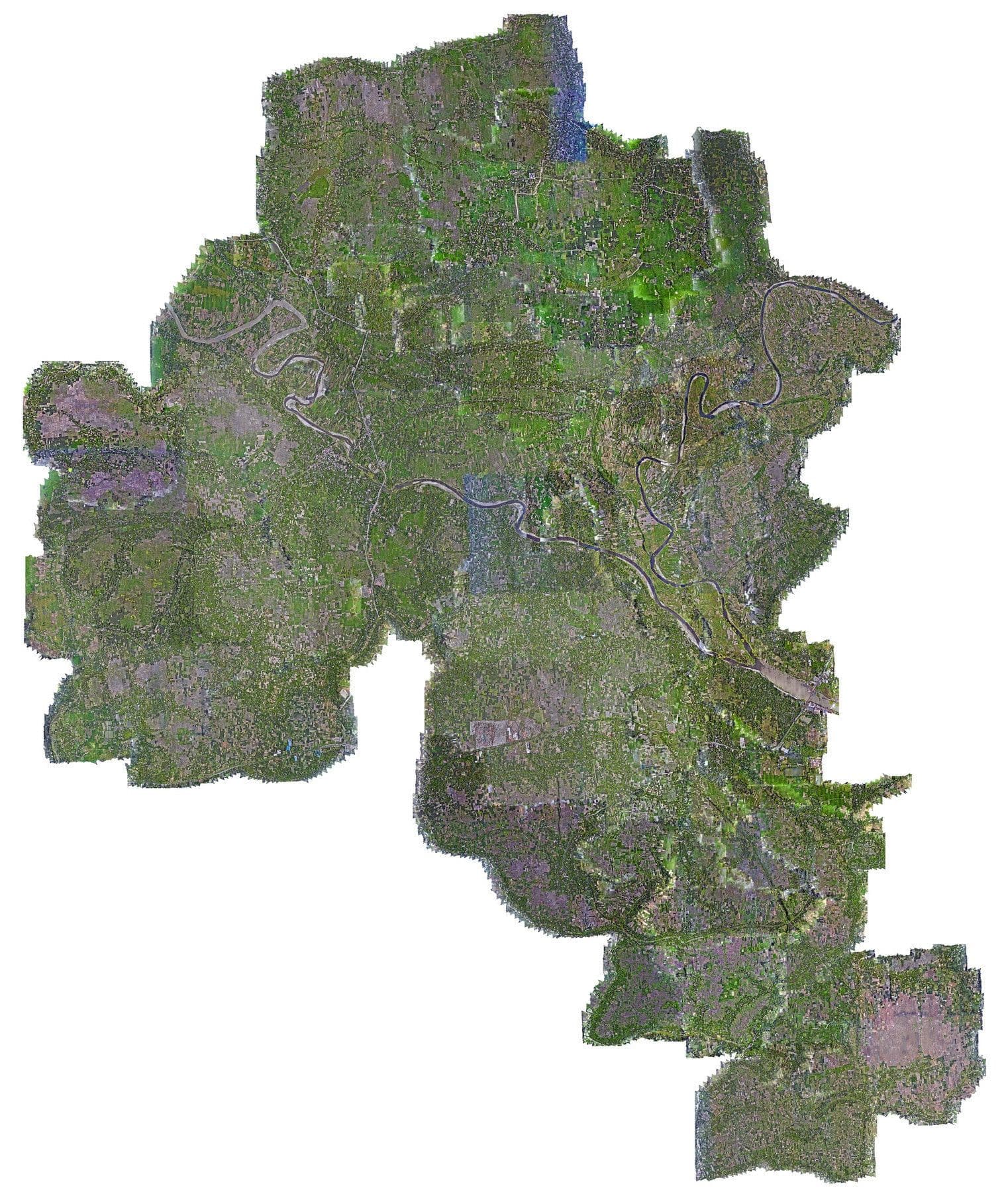
BADC WEB-AIS Pilot Research Project (208.37 km²)
Pilot Research Project for Irrigation Water Management and Establishment of a Web-Based Agricultural Information System (WEB-AIS) covering 208.37 km² across 23 unions and 260 mouzas.
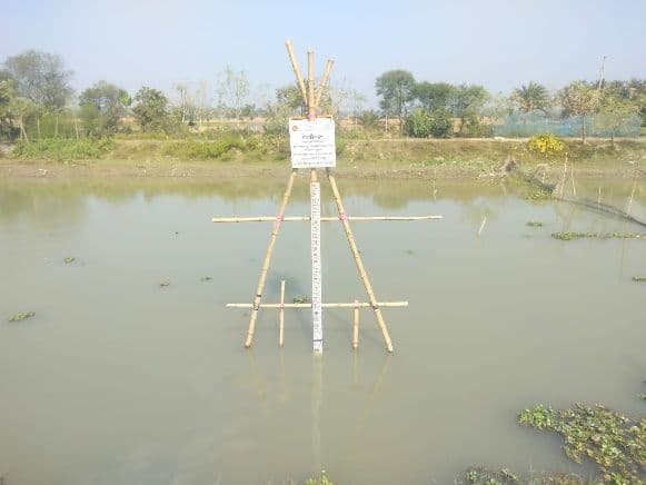
Water-Level Gauge Readers at Krishnapur, Chailla Burundi & Uttar Jamsha
Reinstallation and adjustment of river water level gauge readers and topographic channel cross-sections under WEB-AIS project.
Water-Level Gauge Readers at Three Locations in Gangarampur
Installation of water-level gauge readers and topographic surveying at Jhopjhopia River (WL: 1.83m) and Guiyer Canal (WL: 0.229m).
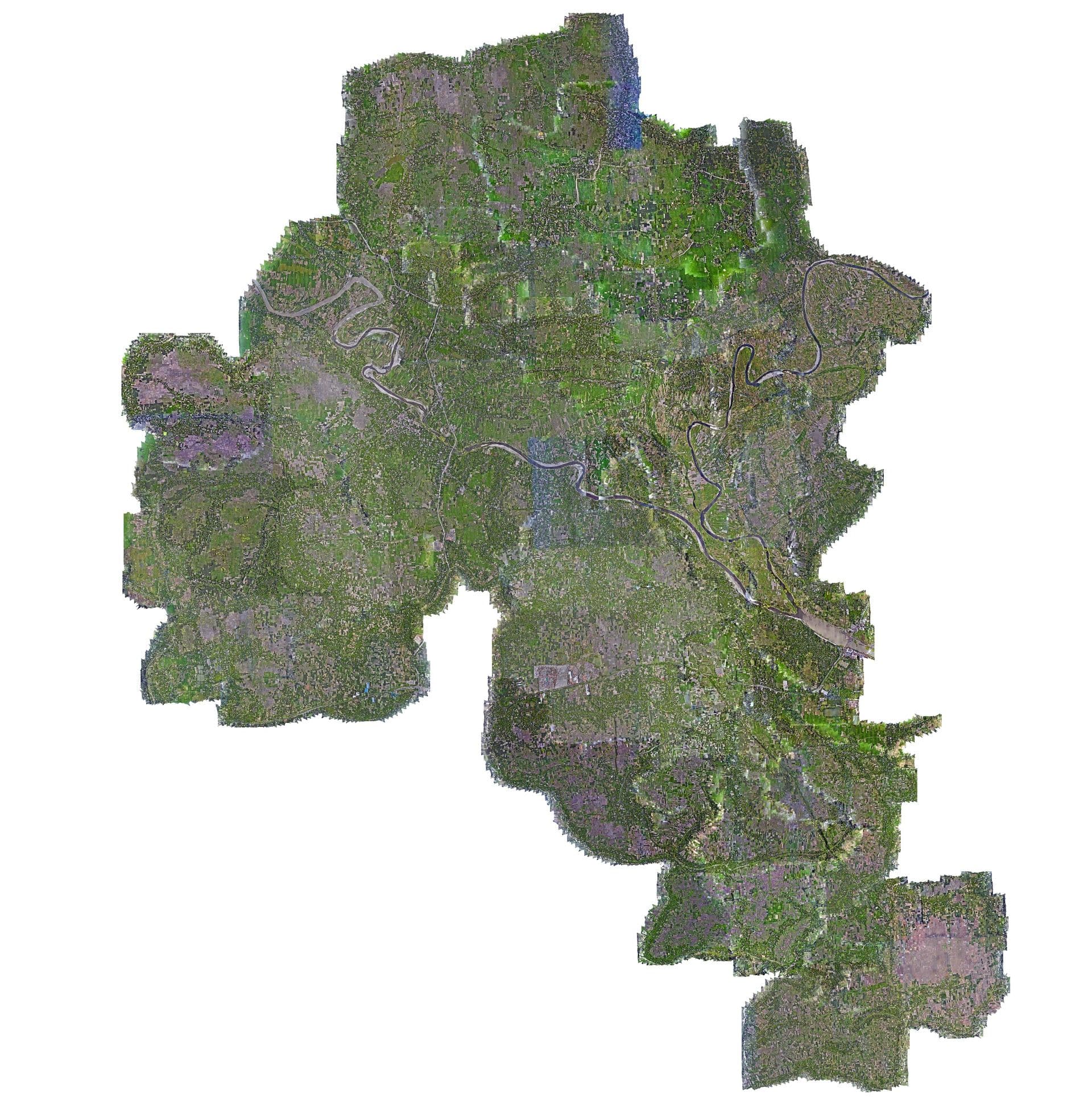
NDVI Calculation & Vegetation Health Remote Sensing
Multi-spectral UAV and satellite remote sensing analysis, calculating NDVI vegetation vigor for optimized irrigation scheduling.
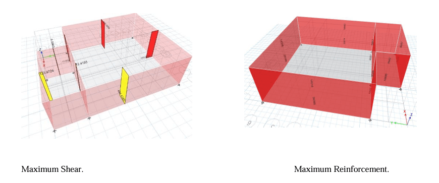
Moheshkhali Sanitary Landfill Leachate Treatment Plant (LTP)
Structural design and complete construction drawings for LTP (Leachate Treatment Plant) and waste containment cells at Moheshkhali Solid Waste Management facility.
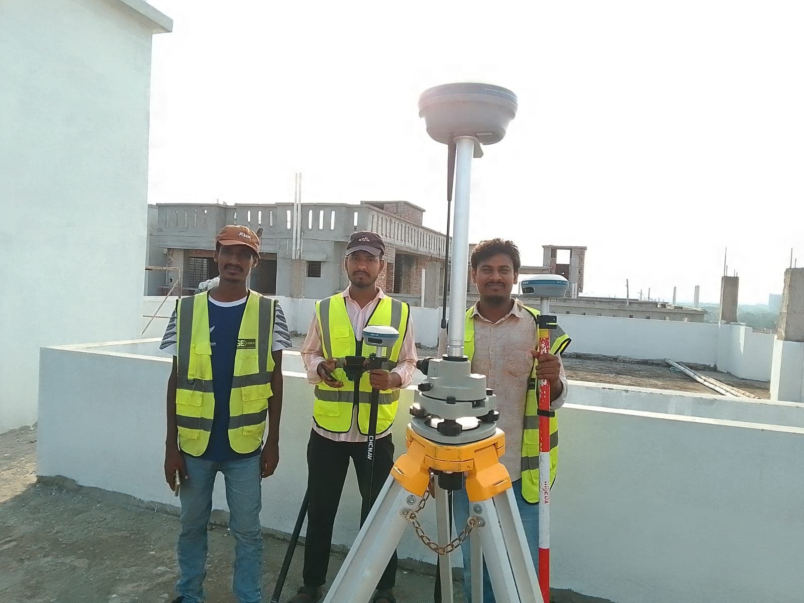
Survey of Newly Accreted Land in Coastal Mangrove Forest
High-resolution RTK-enabled UAV drone survey and terrain elevation modeling assessing coastal accretion and mangrove reforestation zones.
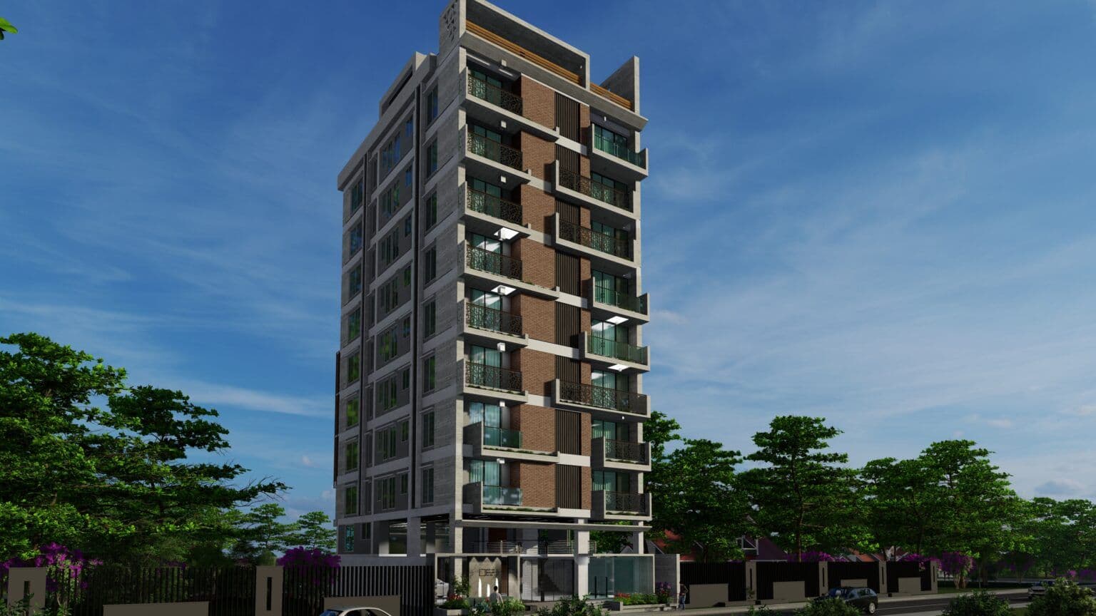
G+15 Residential Landmark in Mymensingh
High-rise residential landmark tower designed with articulated massing, entrance lobby, modern facade composition, and seismic shear wall structural design.
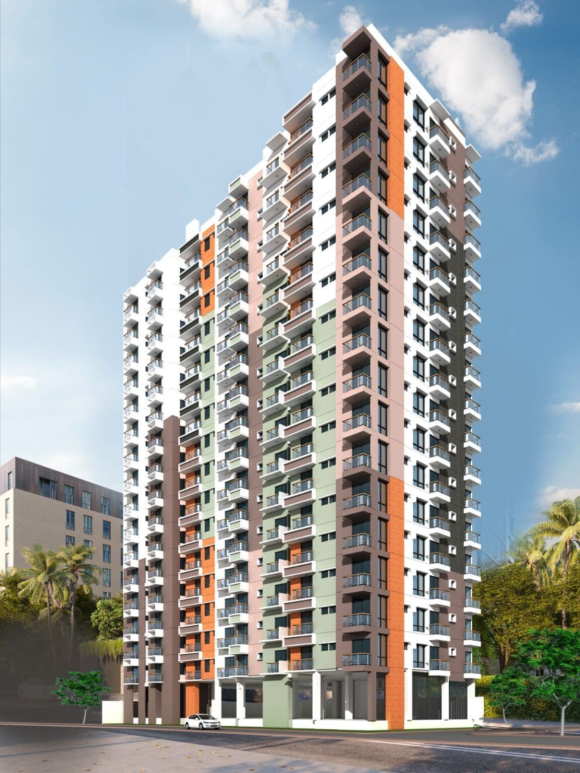
Astha Nir — G+8 Nine-Storey Residential Building
Nine-storey (G+8) residential building with secure ground-floor parking, caretaker quarters, mezzanine lounge, elevator core, and bioclimatic natural ventilation.
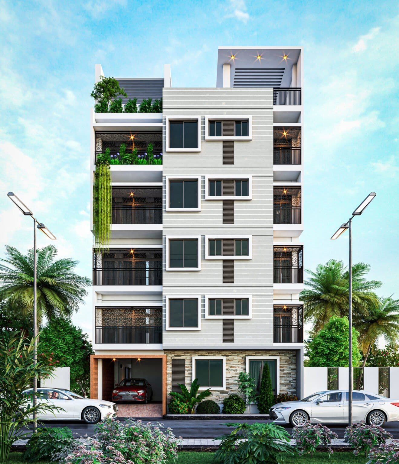
Ahmed–Jamila Villa — G+4 Five-Storey Residence
Five-storey residential project on 3 katha plot with 1,650 sq. ft. ground level and 1,850 sq. ft. upper floors arranged as dual 3-bedroom luxury flats.
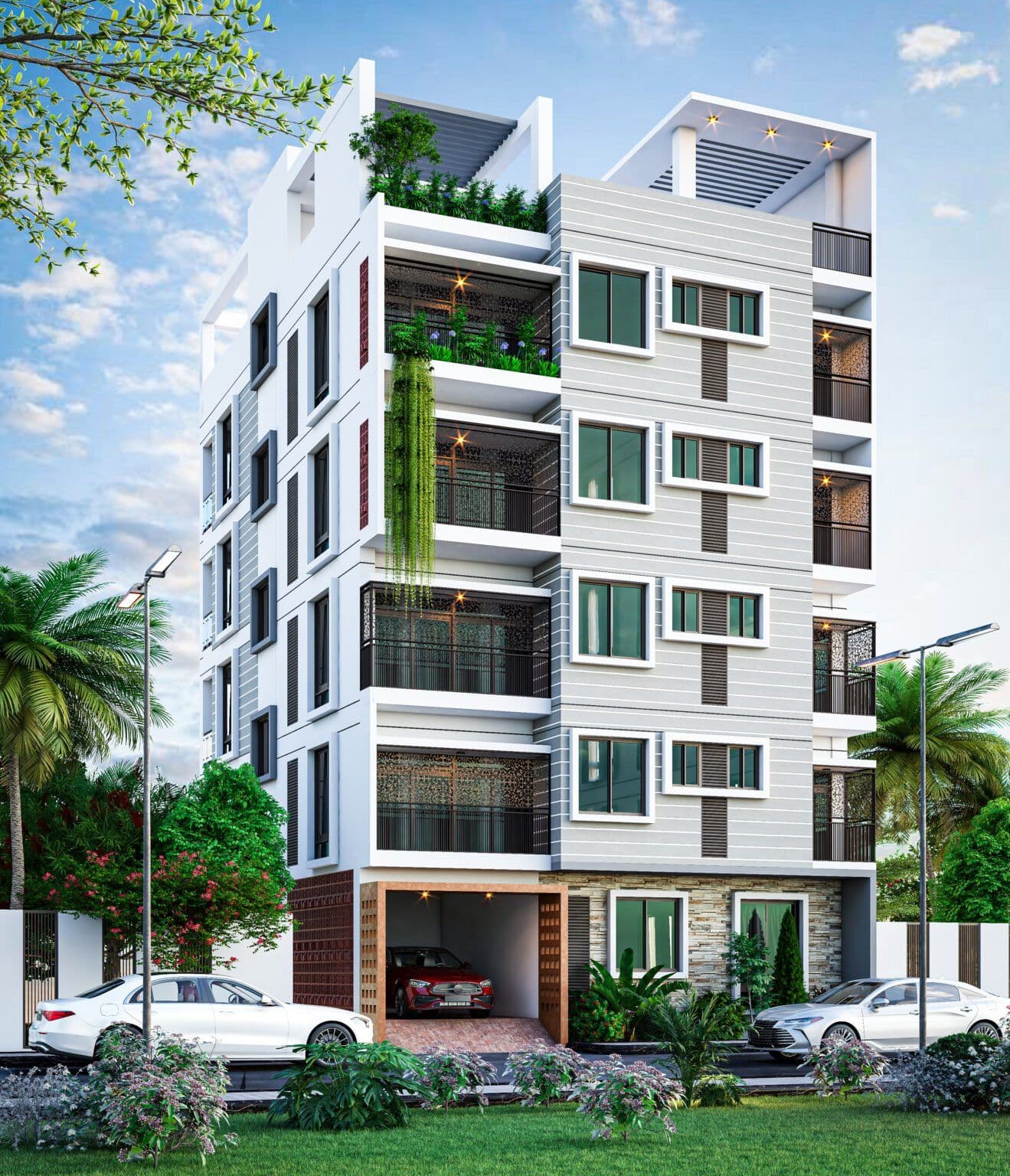
Shawpna Kunja (Shopno Kunjo) Duplex Residence
3,136 sq. ft. contemporary duplex residence with equal 1,568 sq. ft. levels accommodating 6 bedrooms, family living lounges, reading room, and viewing terrace.
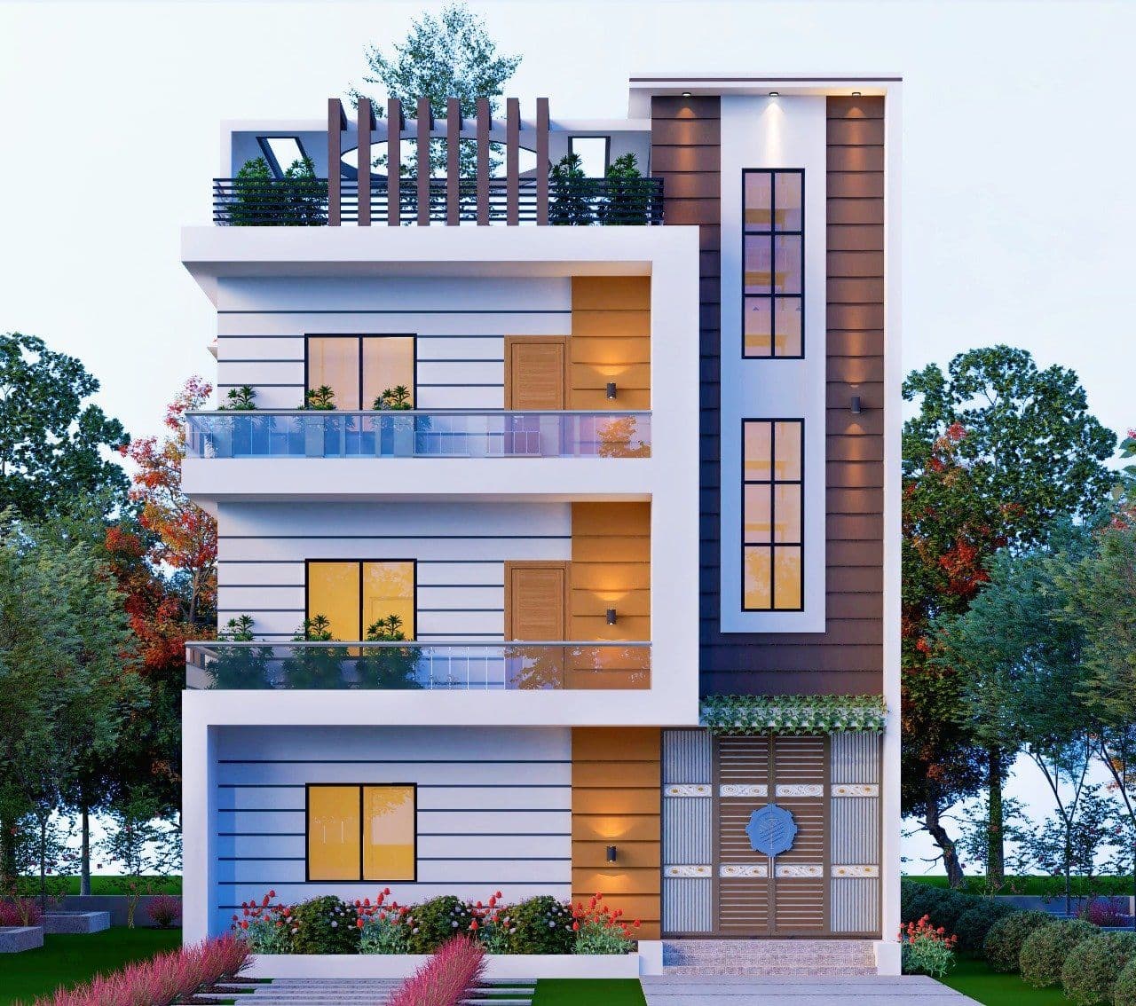
Sakhina Nibas — G+2 Three-Storey Residence
G+2 residential development designed for riverfront climatic conditions with open-plan living and reinforced concrete framing.
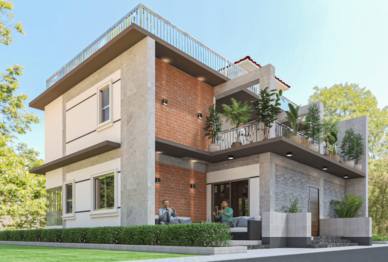
Sirajganj Duplex Residence
Family residence featuring a prominent 25 ft. double-height living room, floor-to-ceiling glass fenestration, and customized landscaping.
Manikganj Two-Storey Residence
Two-storey family home planned for flood-prone delta floodplain with raised plinth engineering and cantilevered balconies.
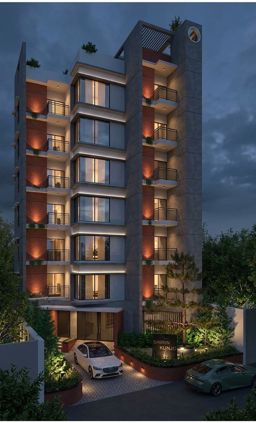
Barguna Duplex Residence
Modern two-storey duplex residence with ground-level parking, expansive open terrace, and coastal wind-load design.
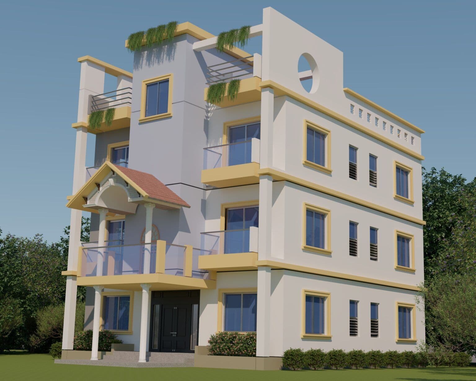
Maa-Villa Three-Storey Residence
Three-storey residential project with open-plan living, private family bedrooms, and structural engineering.
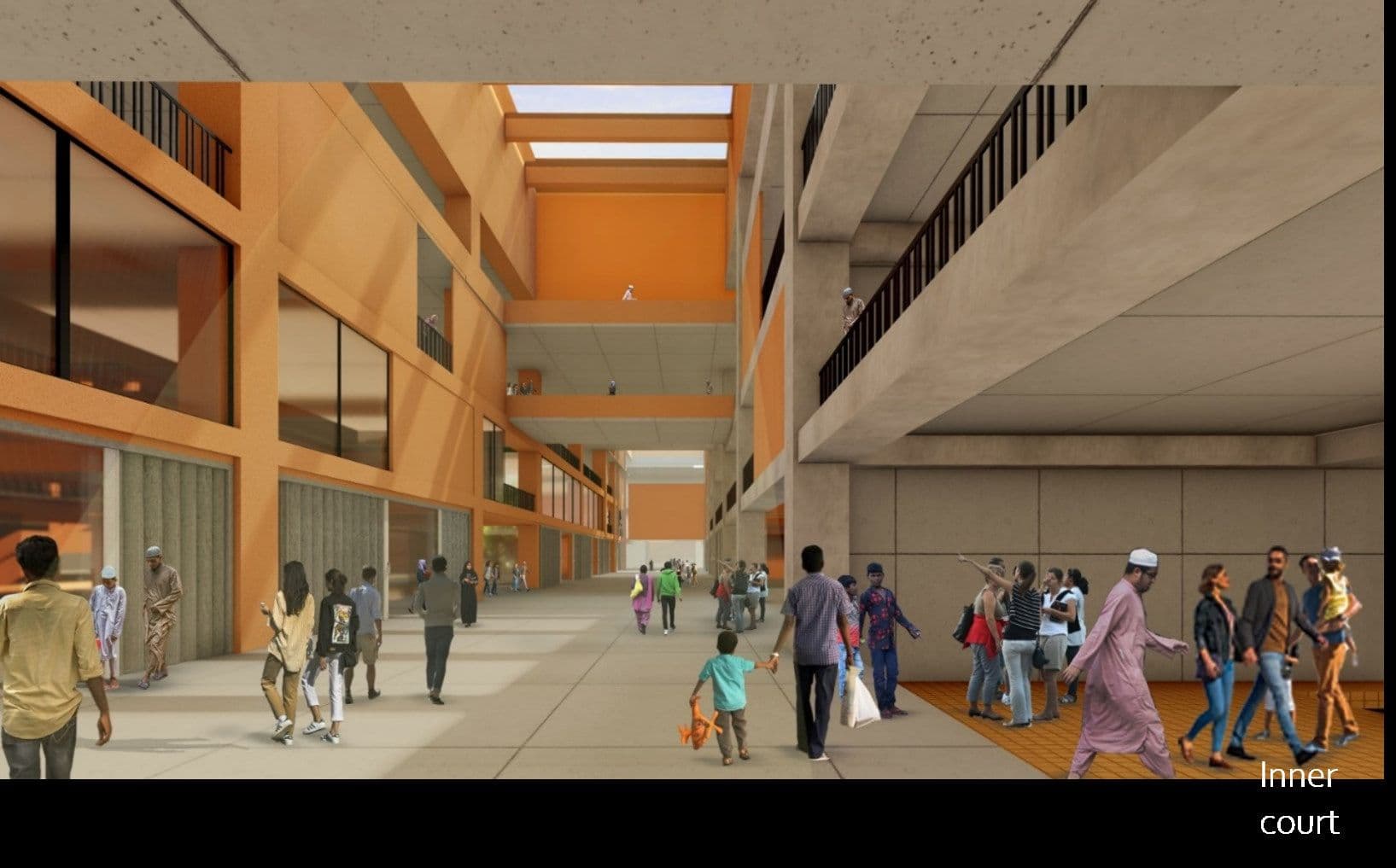
Titu Plaza Commercial & Retail Complex
Multi-level commercial complex featuring retail shopfronts, vertical circulation cores, structural column grids, and underground customer parking.
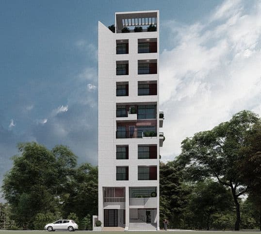
Kazi Palace Classical Residential Estate
Architectural planning and structural engineering for multi-storey luxury family residence with classical detailing and landscape integration.
Ready to Survey Your Next Infrastructure Corridor?
Bosila, Mohammadpur, Dhaka · +880 1713 90 777 9 · info@geospatialworks.com.bd